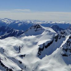
Pizzo Coca, Mountain summit in Lombardy, Italy
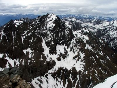
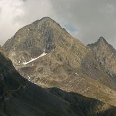
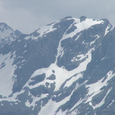
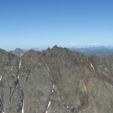
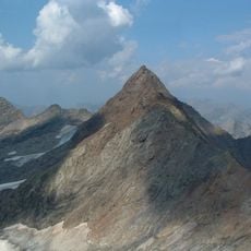
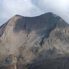
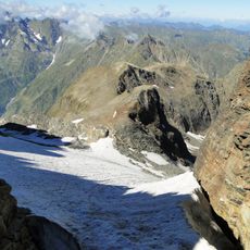
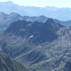
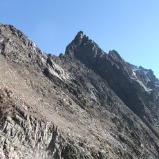
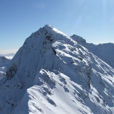
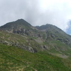
Pizzo Coca is the highest peak in the Bergamo Alps, sitting at 3,052 meters on the boundary between Val Seriana and Valtellina. Its upper sections are made up of steep, exposed rock that require alpine climbing skills to navigate.
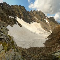
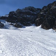
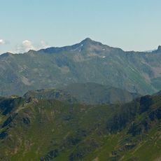
The mountain took its current shape during the Alpine orogeny, when massive tectonic forces folded and pushed rock layers into the formations visible today. Later, glaciers covered most of its surface and gradually retreated, leaving behind the bare rocky ridges seen now.
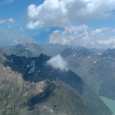
The peak is seen by local mountaineers as a serious test rather than a casual outing, drawing those who want a genuine alpine challenge. Along the route, small cairns and worn footholds left by previous climbers are still visible today.
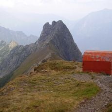
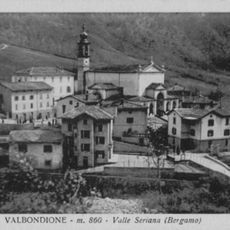
The standard route starts from Valbondione and passes through Rifugio Coca before reaching the rocky upper sections, so spending a night at the refuge is a practical option. Alpine experience and proper climbing gear are needed for the final stretch.
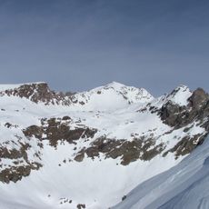
Near 2,400 meters, a formation called Ometto in Sassi shows patterns carved by ancient glaciers into the bedrock, giving a clear picture of how thick the ice once was. This detail is easy to miss but stands out once you know what you are looking at.
The community of curious travelers
AroundUs brings together thousands of curated places, local tips, and hidden gems, enriched daily by 60,000 contributors worldwide.