
Toyama Prefecture, Administrative division in central Honshu, Japan
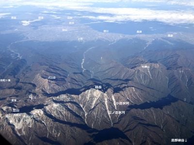
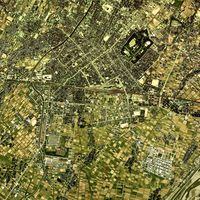
Toyama Prefecture extends from Toyama Bay on the Sea of Japan to the Tateyama mountain range, covering 4,247 square kilometers of diverse terrain.
The region, formerly known as Etchu Province, underwent administrative changes in 1871 before officially becoming Toyama Prefecture in 1881.
The prefecture maintains strong traditions in pharmaceutical production, metal casting, and copper manufacturing, with Takaoka city producing ninety percent of Japan's copperware.
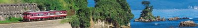
The Hokuriku Shinkansen connects Toyama to major cities, while an extensive network of roads and railways facilitates transportation across the prefecture.
The prefecture contains the only known glaciers in East Asia outside Russia, discovered in 2012 within its mountainous territory.
Location: Japan
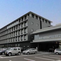
Capital city: Toyama
Shares border with: Ishikawa Prefecture, Niigata Prefecture, Nagano Prefecture, Gifu Prefecture
Website: https://pref.toyama.jp
GPS coordinates: 36.69531,137.21131
Latest update: May 27, 2025 20:09
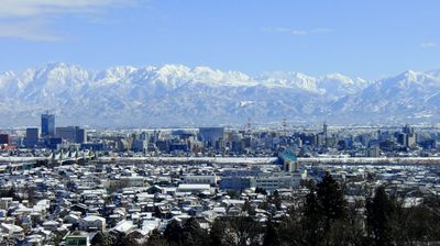
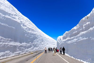

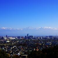
Toyama offers visitors a balanced mix of culture, nature, and history. The city houses several notable museum institutions: the Toyama Glass Art Museum displays glassworks from Japan and internationally across six floors, while the Prefectural Museum of Art and Design showcases regional collections in a modern setting. The Science Museum complements this cultural offering with exhibits about space and biology, a planetarium, and interactive facilities for young visitors. Outdoor enthusiasts will find direct access to the surrounding mountains in Toyama. Mount Kurobegorō reaches 2,840 meters and provides views of the Northern Japanese Alps. Mount Washiba, at 939 meters, offers marked trails through the forest. In winter, the Tateyama Sanroku Ski Area opens its slopes from December to March. In the city, Kansui Park runs along the Fugan Canal with paved walkways, while botanical gardens feature native plants and tropical greenhouses. The Toyama Family Park combines a zoo, playgrounds, and green spaces, creating a spot for relaxation for all ages.
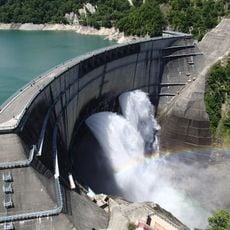
Kurobe Dam
42.8 km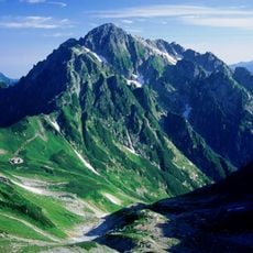
Mount Tsurugi
37.1 km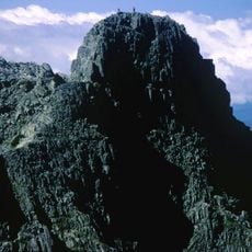
Gendarme
59.6 km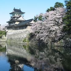
Toyama Castle
225 m
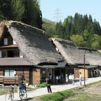
Gokayama
38.8 km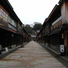
Minka
44.1 km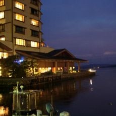
Kagaya
51.3 km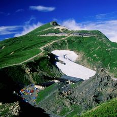
Mount Shirouma
49.3 km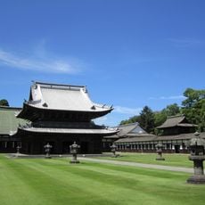
Zuiryū-ji
18.5 km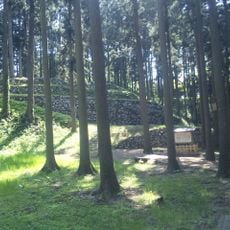
Nanao Castle
40.4 km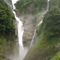
Shōmyō Falls
30.9 km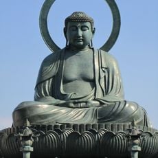
Great Buddha of Takaoka
18.2 km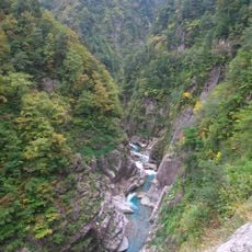
Kurobe Gorge
42.5 km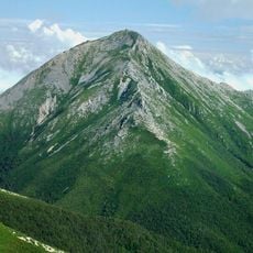
Mount Jōnen
61.9 km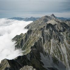
Daikiretto
58.1 km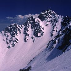
Karasawa Cirque
60 km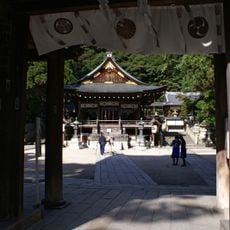
Himure Hachimangū
18 km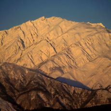
Mount Karamatsu
48.5 km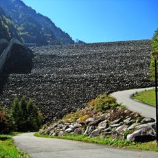
Takase Dam
49.4 km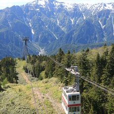
Shinhotaka Ropeway
56.6 km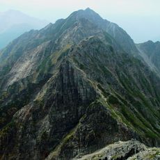
Mount Nishihotaka
59.5 km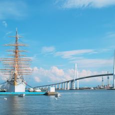
Shinminato Bridge
13.2 km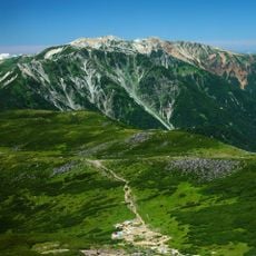
Mt. Yakushi
39 km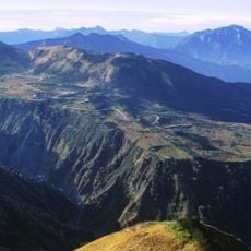
Midagahara
32.1 km
Toyama Kirari
809 m
Notojima Aquarium
54.5 km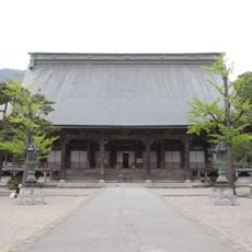
Zuisen-ji
26.2 km
Iōzen
42.3 kmReviews
Visited this place? Tap the stars to rate it and share your experience / photos with the community! Try now! You can cancel it anytime.


Discover hidden gems everywhere you go!
From secret cafés to breathtaking viewpoints, skip the crowded tourist spots and find places that match your style. Our app makes it easy with voice search, smart filtering, route optimization, and insider tips from travelers worldwide. Download now for the complete mobile experience.

A unique approach to discovering new places❞
— Le Figaro
All the places worth exploring❞
— France Info
A tailor-made excursion in just a few clicks❞
— 20 Minutes