Kanna, town in Tano district, Gunma prefecture, Japan
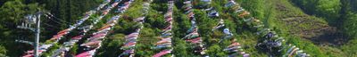
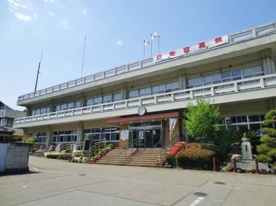
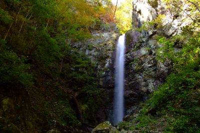
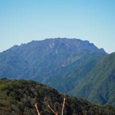
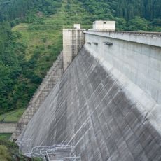
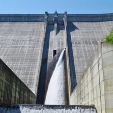
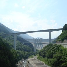
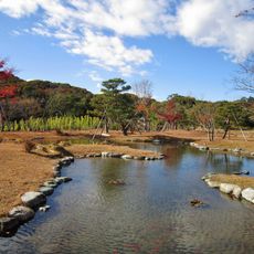
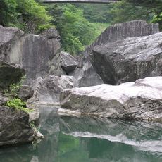
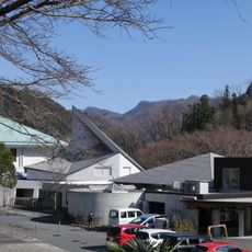
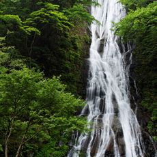
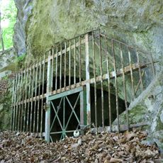
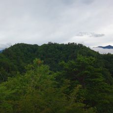
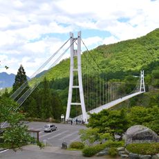
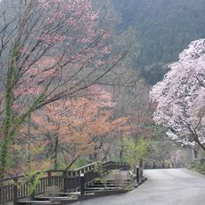
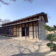
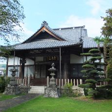
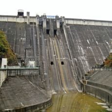
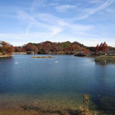
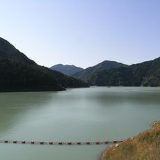
Kanna is a town in the Tano district of Gunma Prefecture, situated in Japan's central region. The community features a rural setting with forested hills and mountain surroundings that shape its landscape.
The town is connected by paved roads winding through hilly terrain that require good navigation. Daytime visits work best when visibility on forest-lined routes is clearest.
Location: Gunma Prefecture
Location: Tano district
Inception: April 1, 2003
Shares border with: Fujioka, Shimonita, Nanmoku, Ueno, Chichibu, Ogano
Website: https://town.kanna.gunma.jp
GPS coordinates: 36.11606,138.91700
Latest update: December 14, 2025 17:01
Gunma Safari Park
12.6 km
Mount Ryōkami
12.4 km
Takizawa Dam
17.9 km
Ueno Dam
20.4 km
Raiden Todoroki Bridge
17.8 km
Fuji-do
13.8 km
Rakusan-en
12.5 km
Sanbaseki Gorge
10.2 km
Kanna Dinosaur Center
9.1 km
丸神の滝
14.3 km
Oinu cave
16.6 km
Mt. Suwa
18.9 km
Ueno Skybridge
13.5 kmOshio Dam
12.7 km白水の滝 (群馬県)
7.1 km
埼玉県山西省友好記念館
13.2 km
Jōmine Park
9.7 km尾ノ内渓谷
9.3 km
旧茂木家住宅
16 km両神温泉
13.1 km
Jurin-ji
13.2 km地蔵寺
9.5 km
Sebayaşi xəfif ləpə nişanələri
9.3 km光明院
16 km金剛院
12.9 km
Shimokubo Dam
9.7 km
Lake Ōshio
12.4 km
Lake Kanna
8 kmVisited this place? Tap the stars to rate it and share your experience / photos with the community! Try now! You can cancel it anytime.
Discover hidden gems everywhere you go!
From secret cafés to breathtaking viewpoints, skip the crowded tourist spots and find places that match your style. Our app makes it easy with voice search, smart filtering, route optimization, and insider tips from travelers worldwide. Download now for the complete mobile experience.
A unique approach to discovering new places❞
— Le Figaro
All the places worth exploring❞
— France Info
A tailor-made excursion in just a few clicks❞
— 20 Minutes