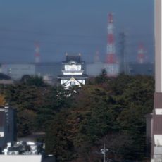
Japan National Route 4, National highway in Eastern Tokyo, Japan
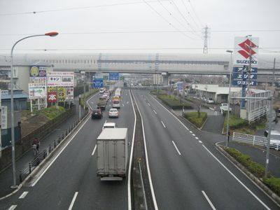
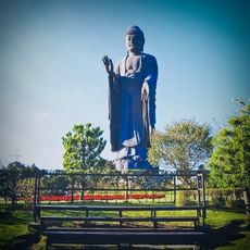
Japan National Route 4 is a national road stretching 745 kilometers from Chuo-ku in Tokyo to Aomori Prefecture, passing through seven prefectures. The road runs through urban and rural areas, linking the capital to the northern regions along the Pacific coast.
The road originated from the ancient Tosando path during the Asuka period, linking the imperial capitals of Kyoto and Nara to the northern regions. During the Meiji era, the route was modernized and integrated into the national road network.
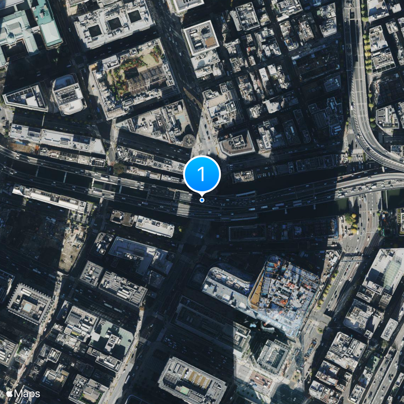
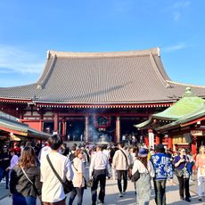
The southern end at Nihonbashi serves as the starting point for measuring distances throughout Japan, marking the symbolic center of the national road system. This location connects the route to the historical role of Nihonbashi as a commercial hub and departure point for travelers during the Edo period.
The road runs as a frontage route to the Ueno line of the Shuto Expressway system between Chuo and Taito. Travelers will find rest stops and service stations along the way, particularly in the sections outside the city.
The route sustained major damage during the 2011 Tohoku earthquake, leading to extensive reconstruction work in the affected sections. Restoring the connection played a key role in supporting recovery efforts in the northern regions.
The community of curious travelers
AroundUs brings together thousands of curated places, local tips, and hidden gems, enriched daily by 60,000 contributors worldwide.