Enable Location

We need your location to show you interesting places around you

Discover nearby places

Find interesting locations and hidden gems around you

Precise directions

Get accurate directions and distances to places

Your location is never shared with other users. It's only used when you tap the location button.

Iwate Prefecture

Log in to your account

Start exploring — it's free

Trusted by 62,058 travelers worldwide

Continue with Google
Continue with Apple
or

We will send you a code to connect

By continuing, you accept our Terms and Conditions and our Privacy Policy

Check your inbox

We've sent a pincode in your inbox. Please enter the code below.

Iwate Prefecture, Prefecture in northern Tohoku, Japan

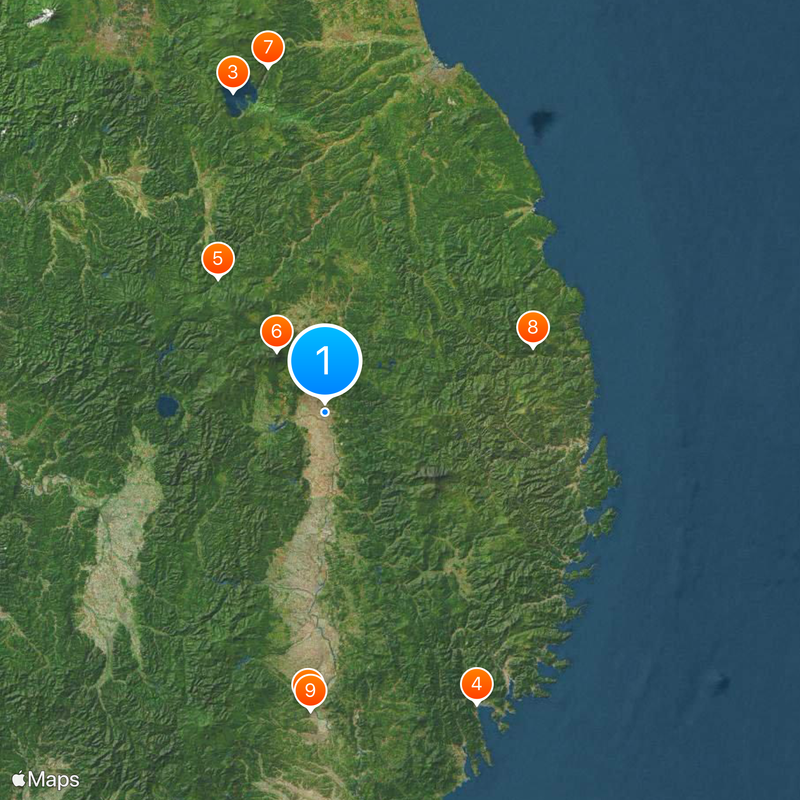
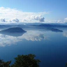
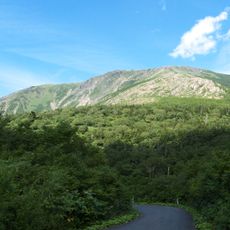
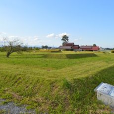
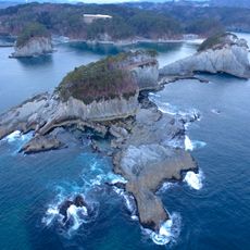
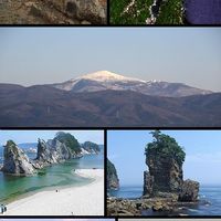
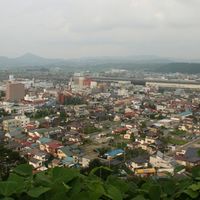
Iwate Prefecture is an administrative division in northern Tohoku that extends along a long Pacific coastline and several mountain ranges inland. It borders Aomori to the north and Miyagi to the south, covering an area larger than any other prefecture except Hokkaido.

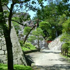
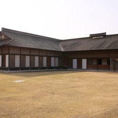
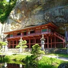
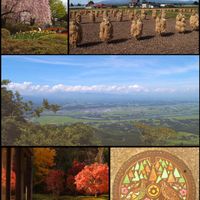
During the twelfth century, the Hiraizumi region formed an important power center, whose traces remain visible today in Buddhist temple complexes and garden remnants. After centuries as part of Japan's northern frontier, it became a distinct prefecture only in the late nineteenth century.

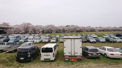
Each region within the prefecture maintains distinct craft traditions, including handmade iron kettles and lacquerware produced in small workshops using techniques passed down through generations. Local matsuri combine temple rituals with street processions, during which residents carry portable shrines through their neighborhoods on their shoulders.

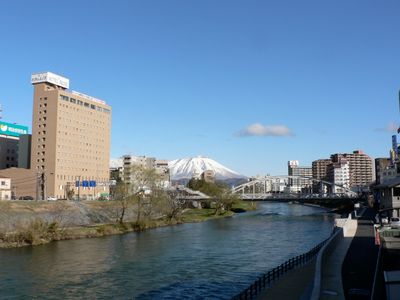
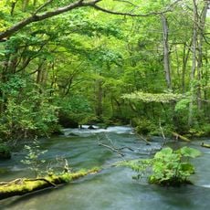
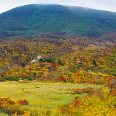
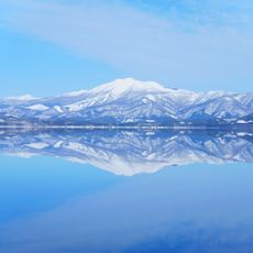
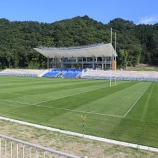
A longer stay allows travelers to explore different coastal stretches and mountain valleys at their own pace, with several main rail lines connecting larger towns. Spring and autumn bring milder temperatures well suited to outdoor activities, while winter brings snow to higher elevations.

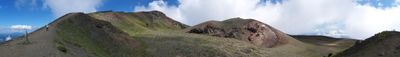
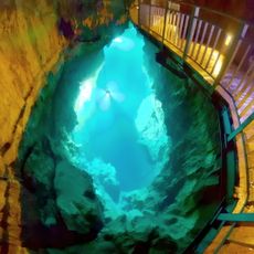
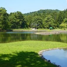
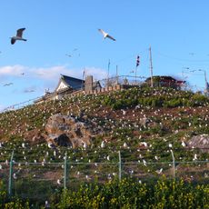
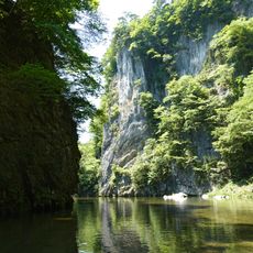
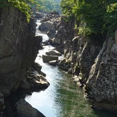
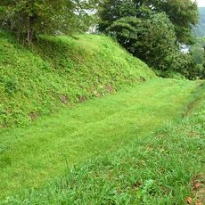
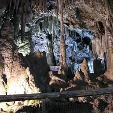
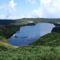
The Michinoku Coastal Trail runs for many kilometers along the entire coast, linking small fishing villages with cliffs and beaches that often remain empty outside summer months. Inland, the Ryusendo Cave holds underground lakes counted among the clearest in Japan and home to several bat species.

The community of curious travelers

AroundUs brings together thousands of curated places, local tips, and hidden gems, enriched daily by 60,000 contributors worldwide.

Start exploring
Location
Capital city
Morioka
Reference
030007
Shares border with
Miyagi Prefecture, Akita Prefecture, Aomori Prefecture
Address
Iwate, Japan
GPS coordinates
39.70350,141.15272
Latest update
December 15, 2025 02:06
« Iwate Prefecture - Prefecture in northern Tohoku, Japan » is provided by Around Us (aroundus.com). Images and texts are derived from Wikimedia project under a Creative Commons license. You are allowed to copy, distribute, and modify copies of this page, under the conditions set by the license, as long as this note is clearly visible.

Discover hidden gems everywhere you go!

From secret cafés to breathtaking viewpoints, skip the crowded tourist spots and find places that match your style. Our app makes it easy with voice search, smart filtering, route optimization, and insider tips from travelers worldwide. Download now for the complete mobile experience.

Around Us App Screenshot

A unique approach to discovering new places

Le Figaro

All the places worth exploring

France Info

A tailor-made excursion in just a few clicks

20 Minutes

Around Us
Travel Guide & Maps
Download

Send to your phone

QR Code
1

Open the camera app on your mobile.

2

Point at the QR code with your camera. A notification will appear.

3

Tap the notification to open the link.