Oshu, Regional municipal center in Iwate Prefecture, Japan
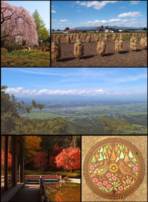
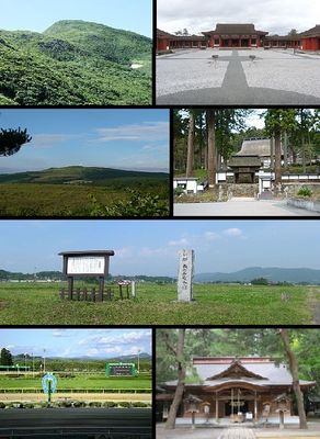
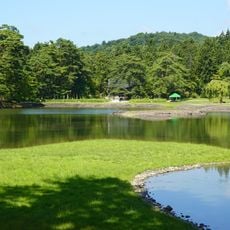
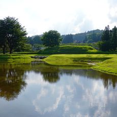
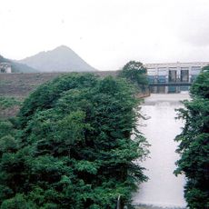
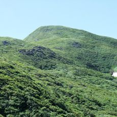
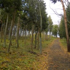
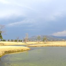
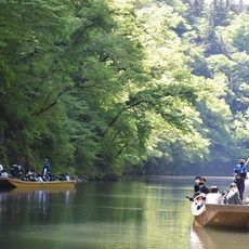
Oshu is a regional administrative center in Iwate Prefecture, northern Japan, spread across a wide plain between two mountain ranges. The Kitakami River runs through the area from north to south, dividing the landscape into gentle valleys and forested hills.
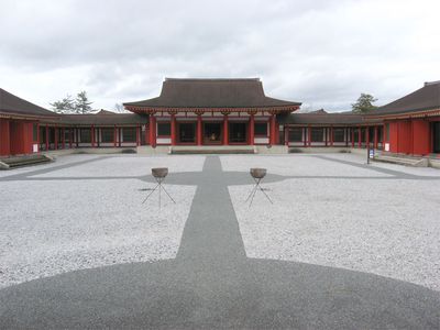
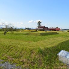
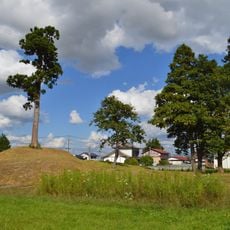
Archaeological finds show that people lived in this region during the Paleolithic period, and later in the 5th century burial mounds and settlements appeared here. The city in its current form was created in 2006 by merging several smaller towns into a single administrative unit.
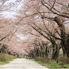
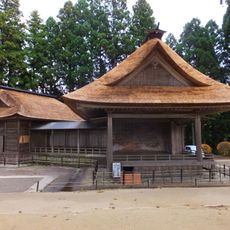
The name Oshu refers to an old designation for the northern regions of Honshu, still visible in the city's identity today. Local life follows the rhythm of the seasons, with markets and festivals that bring together residents from the surrounding valleys and mountains.
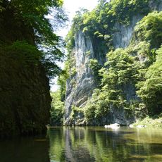
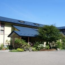
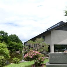
Visitors exploring the city can best move along the main roads that follow the river valleys and connect the different districts. Most public facilities and shops are located in the central areas, while more rural parts are better suited for quiet walks and nature experiences.
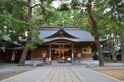
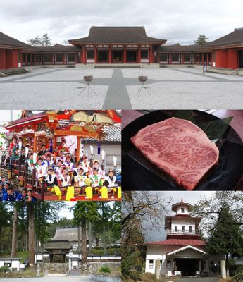
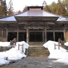
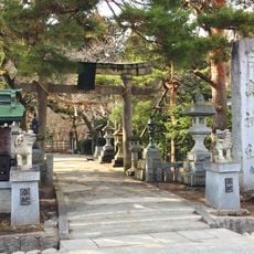
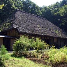
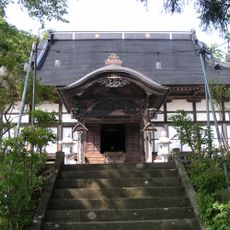
A former samurai residence now displays armor, rifles, and weapons from the Edo period that once belonged to a local family. Visitors can walk through the rooms and view the furnishings that illustrate the life of a warrior family several centuries ago.
The community of curious travelers
AroundUs brings together thousands of curated places, local tips, and hidden gems, enriched daily by 60,000 contributors worldwide.