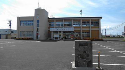
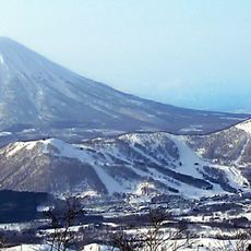
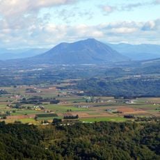
Rusutsu, village in Abuta district, Hokkaido, Japan
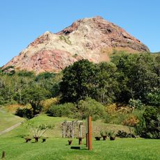
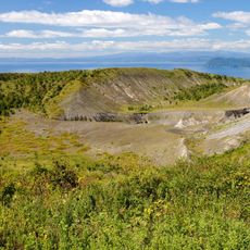
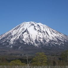
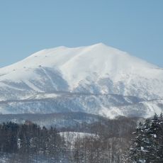
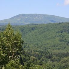
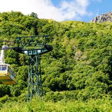
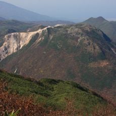
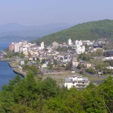
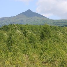
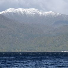
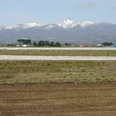
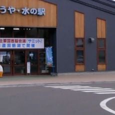
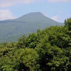
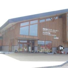
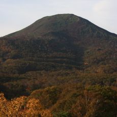
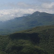
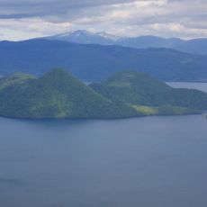
Rusutsu is a small village in the Abuta district on Hokkaido's western side. It sits in a mountainous area where hot spring resorts draw visitors who come for the geothermal waters and the surrounding natural landscape.
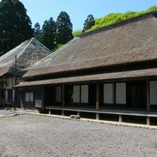
The village formed as a settlement in a sparsely populated mountainous area where natural hot springs had long been known. Modern development as a resort town grew in the 20th century when visitors began discovering the therapeutic benefits of the geothermal waters.
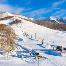
The village is reached by local roads that wind through the mountains, with resorts offering varying levels of facilities and services. Visitors should expect colder weather and more snow than lower elevations, particularly during winter months.
The community of curious travelers
AroundUs brings together thousands of curated places, local tips, and hidden gems, enriched daily by 60,000 contributors worldwide.