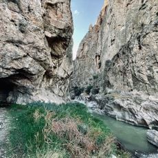
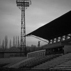
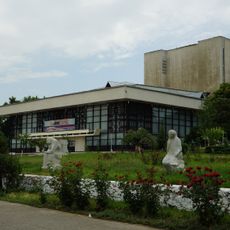
Chatyr-Kul, Alpine lake in Naryn Region, Kyrgyzstan
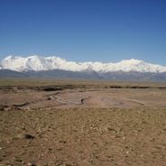
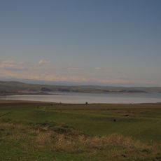
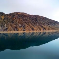
Chatyr-Kul is a drainless alpine lake in the Naryn Region of Kyrgyzstan, lying at 3530 meters between the At-Bashy and Torugart-Too ranges. Its surface covers 161.1 square kilometers, reaching a maximum depth of 16.5 meters, with a volume of 610 million cubic meters. The lake stretches 23 kilometers long and 11 kilometers wide, with marshy shores in the southeast and rocky ones in the north.
Chatyr-Kul lies in the Karatal-Japyryk State Nature Reserve and was designated a Ramsar wetland of international importance under the Ramsar Convention. The lake and its shores are protected to safeguard the roughly 30 species of waterfowl that nest on its islands, including during their summer moult.
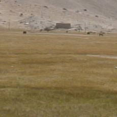
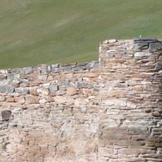
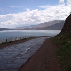
The Kyrgyz name Chatyr-Köl means "celestial lake", from chatyr (sky) and köl (lake). The lake lies beside the Torugart Pass, the route to China, and the Torugart road checkpoint stands south of it. The surrounding jailoo pastures are used by herders in summer.
The lake lies at 3,530 m in the Chatyr-Kul basin beside the Torugart Pass road to China, with the Torugart road checkpoint south of the water. The area is part of the Karatal-Japyryk State Reserve and a Ramsar wetland, so access may be restricted; check conditions and permissions before travelling. Summer is the mildest season, though nights can still be cold.
The lake has no fish at all; only one native fish species lives in the streams that feed it. In winter the surface freezes more than a metre thick, and the ice only breaks up during May. About 30 species of waterfowl nest on the islands in the middle of the lake.
The community of curious travelers
AroundUs brings together thousands of curated places, local tips, and hidden gems, enriched daily by 93,544 contributors worldwide.