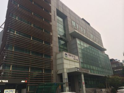
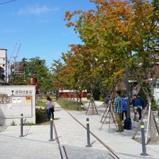
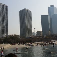
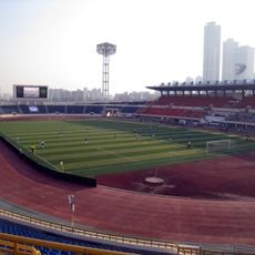
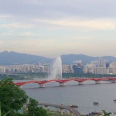
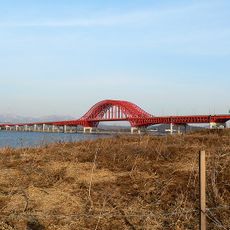
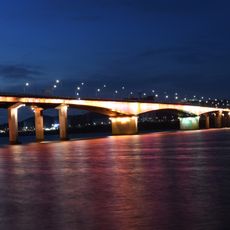
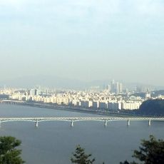
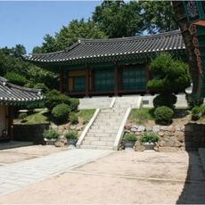
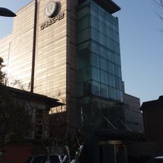
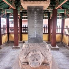
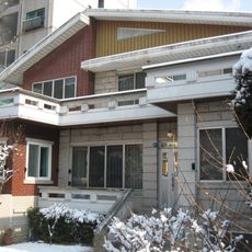
Sangam-dong, neighborhood in Mapo-gu, Seoul, South Korea
Location: Mapo District
Website: http://mapo.go.kr/CmsWeb/template/sangam
GPS coordinates: 37.57210,126.88030
Latest update: March 12, 2025 21:48
National Assembly Building
5.4 km
Yanghwa Bridge
3.8 km
Mokdong Baseball Stadium
4.6 km
World Cup Bridge
1.8 km
Gyeongui Line Forest Park
4.2 km
LGツインタワー
4.8 km
Seoul Lite
767 m
Mokdong Stadium
4.6 km
Korean Film Archive
1.3 km
Dangsan Railway Bridge
4.3 km
Seoul Botanic Park
4 km
World Cup Park
1.1 km
World Cup Fountain
2.8 km
Seodaemun Museum of Natural History
5.1 km
Jeoldu-san
4.2 km
Seongsan Bridge
2.4 km
Banghwa Bridge
5.1 km
Gayang Bridge
1.6 km
Magok Bridge
3.7 km
Haengjusanseong
5.1 km
Site of Yangcheonhyanggyo Confucian School
3.6 km
Kim Dae-Jung Presidential Library and Museum
4.7 km
Օպտիկական պատրանքների թանգարան
4.2 km
Injo Byeolseo Yugibi
5.2 km
천로역정(합질)
5.1 km
서울 서교동 최규하 가옥
3.6 km
Jesus Christ Bible
5.1 km
大韓国耶蘇教会代表者請願文
5.2 kmReviews
Visited this place? Tap the stars to rate it and share your experience / photos with the community! Try now! You can cancel it anytime.
Discover hidden gems everywhere you go!
From secret cafés to breathtaking viewpoints, skip the crowded tourist spots and find places that match your style. Our app makes it easy with voice search, smart filtering, route optimization, and insider tips from travelers worldwide. Download now for the complete mobile experience.
A unique approach to discovering new places❞
— Le Figaro
All the places worth exploring❞
— France Info
A tailor-made excursion in just a few clicks❞
— 20 Minutes