Mapo District, Administrative district in northwestern Seoul, South Korea
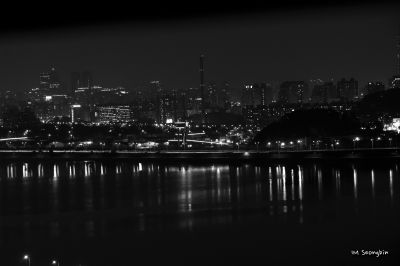
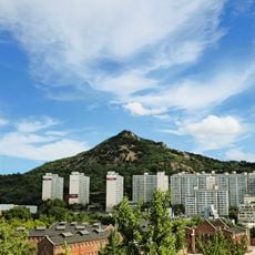
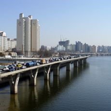
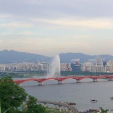
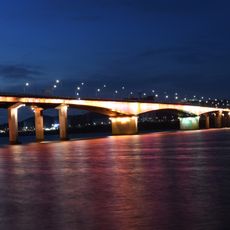
Mapo District is an administrative division in northwestern Seoul that stretches about 24 square kilometers along the northern bank of the Han River. The area is divided into neighborhoods with varying degrees of residential, commercial, and industrial development.
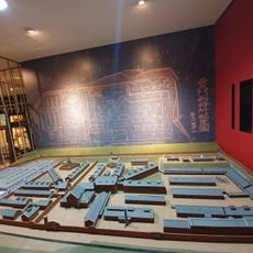
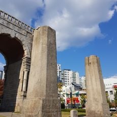
The area was originally farmland before being incorporated into Seoul in 1946 following the city's postwar expansion. Its name comes from a former ferry crossing that transported hemp and goods across the river.
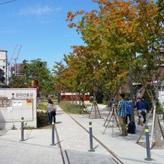
The Hongdae neighborhood near Hongik University holds art galleries, live music venues, and performance spaces where young artists and musicians gather regularly. These venues define much of Seoul's current music and visual arts scene.
The district is served by five major subway lines, including Line 2 and Line 6, with Gongdeok Station functioning as a key transit hub. This extensive network makes getting around and reaching other parts of Seoul straightforward.
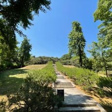
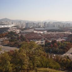
World Cup Park occupies land that was once a landfill, now featuring walking trails, sports facilities, and a stadium used during the 2002 FIFA World Cup. The transformation demonstrates how abandoned industrial sites can become recreational destinations.
The community of curious travelers
AroundUs brings together thousands of curated places, local tips, and hidden gems, enriched daily by 60,000 contributors worldwide.