Emba River, River system in Aktobe Region, Kazakhstan
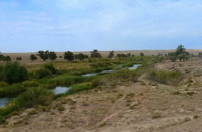
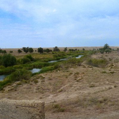
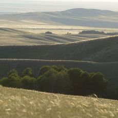
The Emba River is a waterway system in Aktobe Region that flows across western Kazakhstan from the Mugodzhar Hills through the Sub-Ural Plateau to the Caspian Sea. It spans a distance of 712 kilometers and forms an important network of water that shapes the geography of the region.
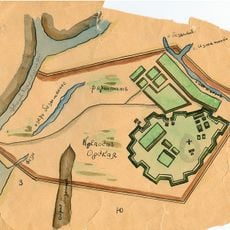
The river played a role in industrial development during the early twentieth century when the Algemba railway and pipeline were constructed nearby between 1919 and 1921. This infrastructure was built to move oil from local fields toward central Russia.
The river's name takes different forms across regions—Embi and Zhem in Kazakh reflect local interpretations, with meanings tied to food resources. This naming reflects how communities living along the water have historically valued and spoken about the river's role in their daily lives.
The waterway freezes annually from November through March, affecting water access and movement along the river. Visitors should be aware of these seasonal changes and plan visits accordingly.
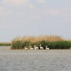
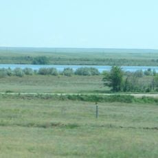
Before reaching the Caspian Sea, the river forms a series of connected lakes through narrow channels, creating a distinctive landscape near its mouth. This lake formation is an overlooked feature that makes the final section of the waterway particularly interesting.
The community of curious travelers
AroundUs brings together thousands of curated places, local tips, and hidden gems, enriched daily by 60,000 contributors worldwide.