Khentii Province

Log in to your account

AroundUs is a community-driven map of interesting places, built by curious explorers like you. It grows with every review, story, and photo you share.
Connect to save your favorite spots, contribute locations, and create personalized routes.
Continue with Google
Continue with Apple
Continue with X
Continue with Facebook
Continue with email
By continuing, you accept our Terms and Conditions and our Privacy Policy
Create an account
Add to collection
Map
Suggest a change
Share

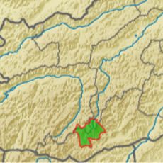
Khentii Province, Administrative division in eastern Mongolia

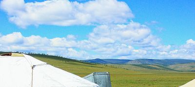
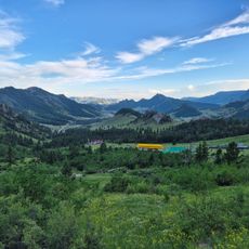
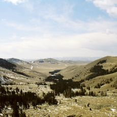
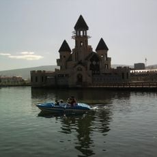
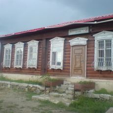
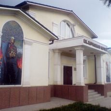
Khentii Province is an administrative region in eastern Mongolia that covers diverse terrain, from mountainous areas in the northwest to steppe plains in the southeast. The region is organized into districts served by regional transportation networks, with Chinggis City functioning as the central administrative center.

The province was established as an administrative region in 1930 and later underwent major boundary changes with the separation of Dornod Province and subsequently Sukhbaatar Province. These administrative restructurings shaped the region's modern borders and its development within Mongolia's governance system.

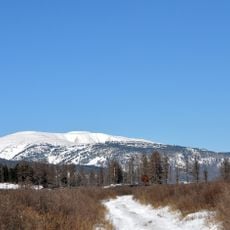
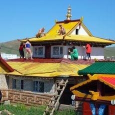
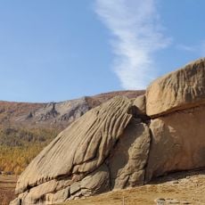
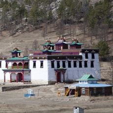
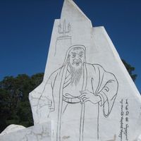
The region holds several sacred locations, including Burkhan Khaldun Mountain within the Khan Khentii Protected Area, where visitors can experience places central to Mongolian spiritual beliefs and heritage.

The region is accessible through regional transportation routes connecting the various districts, with Chinggis City serving as the hub for travel within the province. Visitors should prepare for changing terrain and conditions as they travel between mountainous and flat areas.

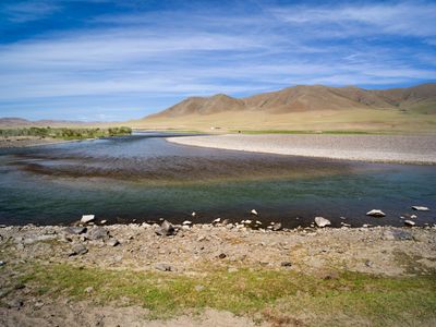
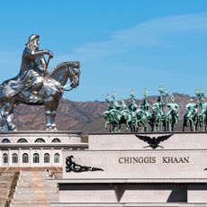
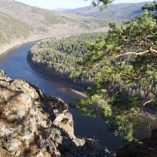
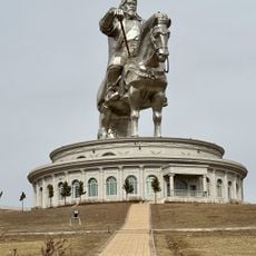
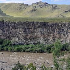
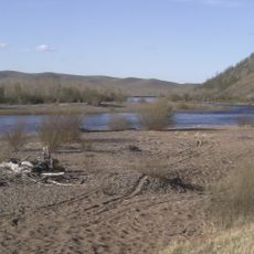
The area is the birthplace region of Genghis Khan and contains Onon-Balj National Park, where the Kherlen River flows through the southern territories. This combination of geography and origin creates a significant location for travelers interested in Mongolian heritage and natural features.

Location: Mongolia

Inception: 1930

Capital city: Öndörkhaan

Shares border with: Zabaykalsky Krai, Sükhbaatar Province, Dornod Province, Dornogovi Province, Govisümber Province, Töv Province, Selenge Province, Baganuur, Ulaanbaatar

Website: http://khentii.mn

GPS coordinates: 48.00000,110.50000

Latest update: December 22, 2025 20:27

Photos
Reviews

Visited this place? Tap the stars to rate it and share your experience / photos with the community! Try now! You can cancel it anytime.

« Khentii Province - Administrative division in eastern Mongolia » is provided by Around Us (aroundus.com). Images and texts are derived from Wikimedia project under a Creative Commons license. You are allowed to copy, distribute, and modify copies of this page, under the conditions set by the license, as long as this note is clearly visible.

Discover hidden gems everywhere you go!

From secret cafés to breathtaking viewpoints, skip the crowded tourist spots and find places that match your style. Our app makes it easy with voice search, smart filtering, route optimization, and insider tips from travelers worldwide. Download now for the complete mobile experience.

Around Us App Screenshot

A unique approach to discovering new places

Le Figaro

All the places worth exploring

France Info

A tailor-made excursion in just a few clicks

20 Minutes