IJssel, River system in Overijssel and Gelderland, Netherlands
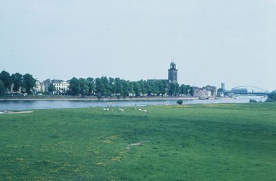
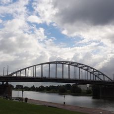
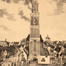
The IJssel is a river system flowing through Overijssel and Gelderland in the Netherlands, running for about 125 kilometers across the landscape. It passes through several towns and communities, eventually connecting to the IJsselmeer near Kampen.
The Romans called this waterway Isala and used it as a boundary line in their territory. Centuries later, it served as a strategic defensive position during World War II operations in the Netherlands.
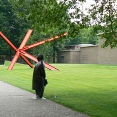
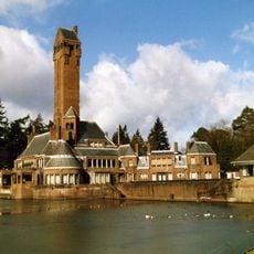
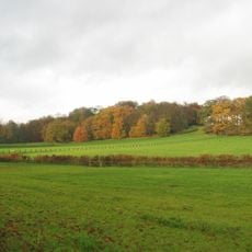
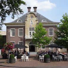
The river shaped the growth of multiple towns along its banks, each developing its own local building styles and ways of working with the water. Walking through these places, you notice how the presence of the water influenced everything from street layouts to how people spend their days.
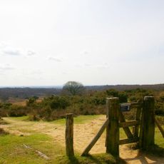
Cycling paths and walking routes follow the river, making it easy to explore the landscape at your own pace. Boat tours operate regularly between the main towns, offering another way to see the riverside towns and countryside.
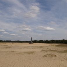
The river's water levels change significantly depending on the season and weather, which constantly challenges local water management systems. These natural variations shape life along the banks and influence when people can safely use the water and riverside areas.
The community of curious travelers
AroundUs brings together thousands of curated places, local tips, and hidden gems, enriched daily by 60,000 contributors worldwide.