Chest opened
+${chestReward.xp} XP
Explorer
NOUVEAU ×${chestReward.collectible.quantity}
tapez pour fermer
Chest locked

Open chests in the app

Around Us is built for your phone — chests unlock when you walk, explore and capture nearby places.

Enable Location

We need your location to show you interesting places around you

Discover nearby places

Find interesting locations and hidden gems around you

Precise directions

Get accurate directions and distances to places

Your location is never shared with other users. It's only used when you tap the location button.

Log in to your account

Start exploring — it's free

Trusted by 72,882 travelers worldwide

Continue with Google
Continue with Apple
or

We will send you a code to connect

By continuing, you accept our Terms and Conditions and our Privacy Policy

Check your inbox

We've sent a pincode in your inbox. Please enter the code below.

West Seti Dam
Discussion Reviews Photo
3.7k Popularity

West Seti Dam, Embankment dam in Far-Western Development Region, Nepal

West Seti Dam is an embankment dam on the Seti River in far western Nepal, rising 195 meters above the riverbed. The structure holds back water that fills a reservoir with a storage capacity of about 1.5 billion cubic meters to feed turbines for power generation.

Initial plans for this structure were drawn up by an international engineering company, but the government stopped that work in 2011 due to funding issues. The project was later revived under government leadership to move forward with construction.

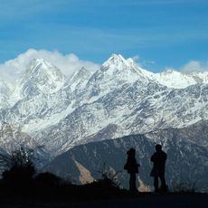
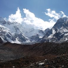
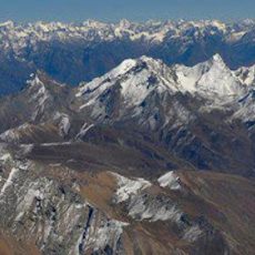
The project affects communities across multiple districts including Doti, Dadeldhura, Baitadi, and Bajhang, requiring careful attention to how local people use the river and surrounding valleys. Residents in these areas have strong ties to the land, and the dam reshapes the waterway that once shaped their daily rhythms.

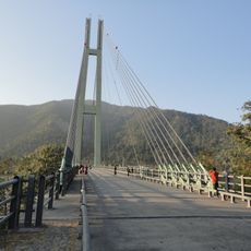
The site sits in a mountainous region with limited road access, so visiting typically requires organized tours with a local guide. The best time to visit is during drier months when mountain paths are easier to travel.

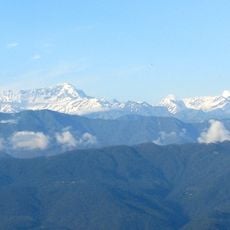
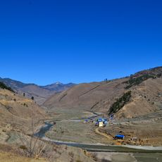
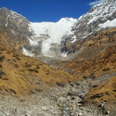
The reservoir stretches about 25 kilometers upstream through mountain terrain and covers a water surface area of around 20 square kilometers. This vast expanse of water fills narrow valleys in a way that transforms how the landscape looks.

The community of curious travelers

AroundUs brings together thousands of curated places, local tips, and hidden gems, enriched daily by 60,000 contributors worldwide.

Start exploring
GPS coordinates
29.35890,80.77110
Latest update
December 11, 2025 18:11
Reviews
Share your experience

No review yet

Discussions
Start a discussion...

No discussion yet

« West Seti Dam - Embankment dam in Far-Western Development Region, Nepal » is provided by Around Us (aroundus.com). Images and texts are derived from Wikimedia project under a Creative Commons license. You are allowed to copy, distribute, and modify copies of this page, under the conditions set by the license, as long as this note is clearly visible.

Discover hidden gems everywhere you go!

From secret cafés to breathtaking viewpoints, skip the crowded tourist spots and find places that match your style. Our app makes it easy with voice search, smart filtering, route optimization, and insider tips from travelers worldwide. Download now for the complete mobile experience.

Around Us App Screenshot

A unique approach to discovering new places

Le Figaro

All the places worth exploring

France Info

A tailor-made excursion in just a few clicks

20 Minutes

Around Us
Travel Guide & Maps
Download

Send to your phone

QR Code
1

Open the camera app on your mobile.

2

Point at the QR code with your camera. A notification will appear.

3

Tap the notification to open the link.