
Gangajamuna Gaupalika, place in Central, Nepal
Location: Bagmati Province
GPS coordinates: 28.06283,84.91876
Latest update: September 22, 2025 08:49
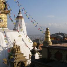
Swayambhunath
53.2 km
Manakamana Temple
37.6 km
Budhanilkantha Temple
53.9 km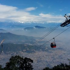
Chandragiri Cable Car
51 km
Ghorkha Palace
29.2 km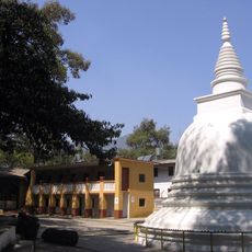
Ananda Kuti Vihar
54.9 km
Gorkha Bridge
29.9 km
Siddha cave
50.8 km
Vidhyeshvari Vajra Yogini Temple
54.1 km
Manaslu Conservation Area
49.4 km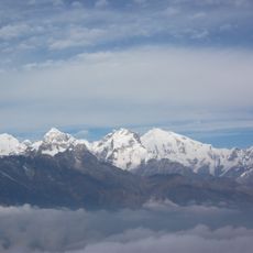
Yangra
41.9 km
Chamar
54.9 km
Bhaleshwor Mahadev Temple
52.4 km
Naradevi Temple
54.9 km
Matatirtha Temple
52.6 km
Suryachaur
46.9 km
Nuwakot Palace
29.3 km
Ichangu Narayan Temple
49.8 km
Ganesh NW
37.6 km
Salasungo
36.3 km
Bhairabi Temple
29.3 km
Himalchuli
50.1 km
Pabil
35.2 km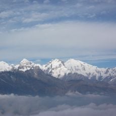
Lapsang Karpo
38.3 km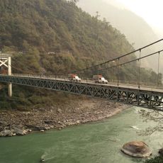
Mugling Bridge
42.5 km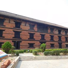
Musée de Gorkha
29.8 km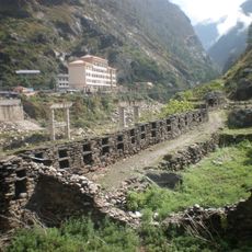
Rasuwa Fort
51 km
Halchowk Stadium
52.4 kmVisited this place? Tap the stars to rate it and share your experience / photos with the community! Try now! You can cancel it anytime.
Discover hidden gems everywhere you go!
From secret cafés to breathtaking viewpoints, skip the crowded tourist spots and find places that match your style. Our app makes it easy with voice search, smart filtering, route optimization, and insider tips from travelers worldwide. Download now for the complete mobile experience.

A unique approach to discovering new places❞
— Le Figaro
All the places worth exploring❞
— France Info
A tailor-made excursion in just a few clicks❞
— 20 Minutes