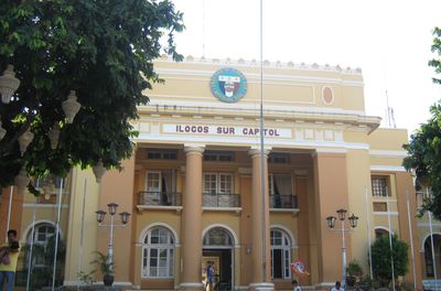
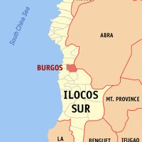
Ilocos Sur, Administrative province in northern Luzon, Philippines
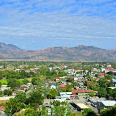
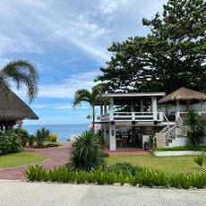
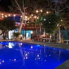
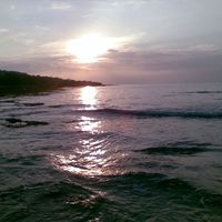
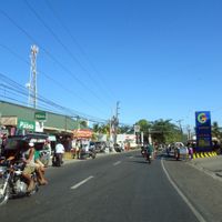
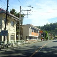
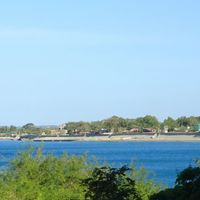
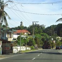
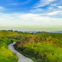
Ilocos Sur is an administrative province in northern Luzon, Philippines, stretching along a narrow strip between the coast and the mountains of the Cordillera range. The landscape shifts from flat rice paddies and sandy coves by the sea to green hills and mountain villages inland.
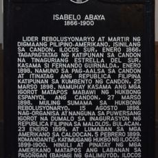
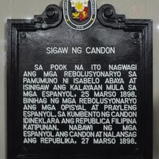
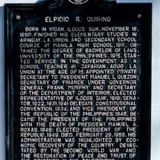
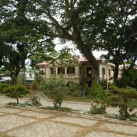
The region was organized by Spanish colonial rulers in the 16th century and developed into a center for tobacco cultivation and trade with Manila. Uprisings against colonial rule flared several times during the 18th and 19th centuries before the Philippines came under American control in the early 20th century.
The name comes from the Ilocano language and means "from the marshy land," a reference to the wet soils along the rivers and coves of the coastal plain. In villages, craftspeople still weave Abel textiles on traditional looms and paint pottery with geometric patterns.
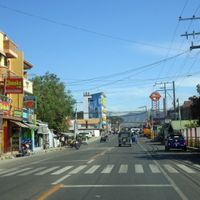
Public buses and minibuses run along the main road that links coastal communities with the interior, with trips most frequent during daytime. Travelers should start early to allow time for stops in smaller towns and factor in extra time for winding mountain roads during rainy weather.
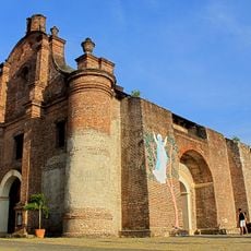
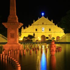
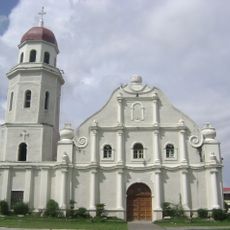
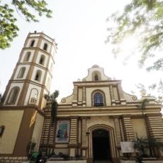
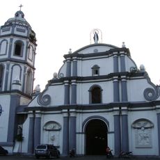
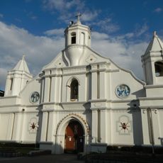
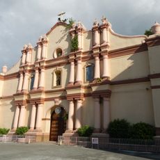
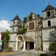
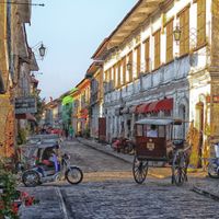
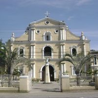
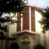
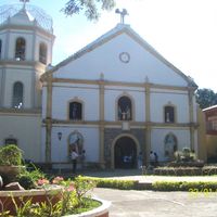
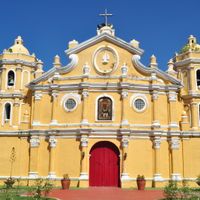
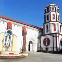
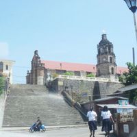
Two sites within the province's borders have been recognized by UNESCO as World Heritage locations: the colonial old town of Vigan and the baroque church of Santa Maria. The church stands on a hill and is reached by a brick stairway built like a fortress into the landscape.
Location: Ilocos Region
Inception: 1818
Capital city: Vigan
Reference: 0102900000
Shares border with: La Union, Abra, Benguet, Ilocos Norte
Website: https://mis.ilocossur.gov.ph
GPS coordinates: 17.33333,120.58333
Latest update: December 12, 2025 23:09
Santa Maria Church
11.3 km
Baluarte Zoo
32.7 km
Vigan Cathedral
33.9 km
Namacpacan Church
57.8 kmMount Tirad
22.4 kmBessang Pass Natural Monument
42.6 km
Cassamata Hill National Park
29 km
Saint Catherine of Alexandria Parish Church
32.6 km
Bangued Cathedral
29.4 km
Quirino Stadium
34.1 kmNorthern Luzon Heroes Hill National Park
20.9 km
Candon Church
21.1 km
Bangar Church
51.9 km
San Juan Surf Resort
80.3 km
Balaoan Church
60.2 km
Bacnotan Church
72.6 kmLibunao Protected Landscape
58.2 kmSanta Lucia Protected Landscape
20.7 kmBigbiga Protected Landscape
16.9 kmLidlidda Protected Landscape
9.9 kmPuerto de San Juan
78.5 kmMount Data National Park
57.7 kmTirad Pass National Park
32.9 km
Isabelo Abaya historical marker
21.2 km
National Museum of the Philippines Ilocos Regional Complex
34.2 km
Cry of Candon historical marker
21.2 km
Elpidio R. Quirino historical marker
34.1 km
Casa La Playa
77.2 kmVisited this place? Tap the stars to rate it and share your experience / photos with the community! Try now! You can cancel it anytime.
Vigan
Candon
Alilem
Banayoyo
Bantay
Burgos
Cabugao
Caoayan
Cervantes
Galimuyod
Gregorio del Pilar
Lidlidda
Magsingal
Nagbukel
Narvacan
Quirino
Salcedo
San Emilio
San Esteban
San Ildefonso
San Juan
San Vicente
Santa
Santa Catalina
Santa Cruz
Santa Lucia
Santa Maria
Santiago
Santo Domingo
Sigay
Sinait
Sugpon
Suyo
Tagudin
Discover hidden gems everywhere you go!
From secret cafés to breathtaking viewpoints, skip the crowded tourist spots and find places that match your style. Our app makes it easy with voice search, smart filtering, route optimization, and insider tips from travelers worldwide. Download now for the complete mobile experience.
A unique approach to discovering new places❞
— Le Figaro
All the places worth exploring❞
— France Info
A tailor-made excursion in just a few clicks❞
— 20 Minutes