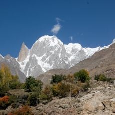
Hunza River, Mountain river in Gilgit-Baltistan, Pakistan.
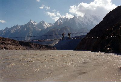
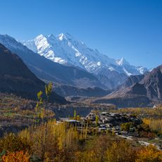
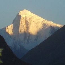
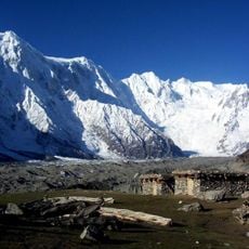
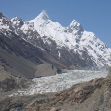
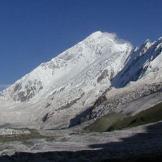
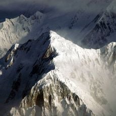
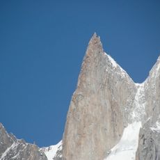
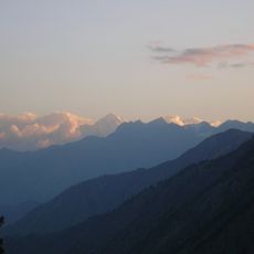
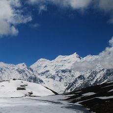
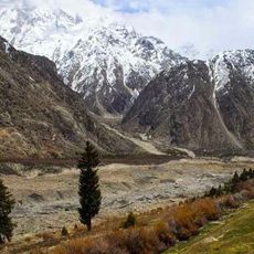
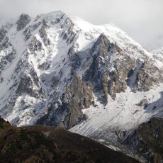
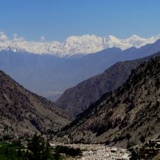
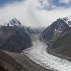
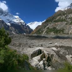
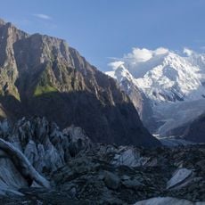
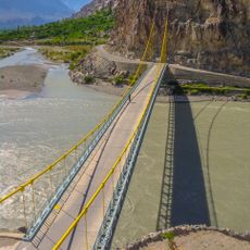
The Hunza River flows through deep valleys of the Karakoram range and creates a natural corridor along which the Karakoram Highway extends toward China. Along its path it cuts through steep rock walls and forms the spaces where people have built settlements and carved out their fields.
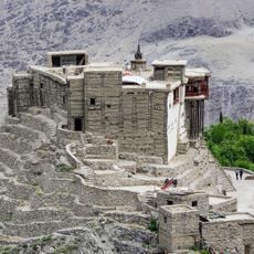
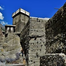
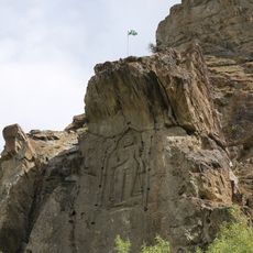
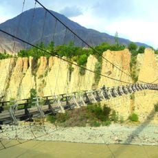
The river was part of ancient trade routes that connected South Asia with Central Asia through mountain passes used by merchants and travelers. These routes shaped the development of the regions along its banks over many centuries.
Local communities use the water for traditional irrigation systems that feed terraced fields and support farming methods passed down through generations. These practices shape how the valleys look and show how people have lived with this river for centuries.
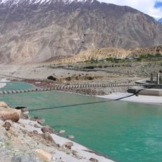
The river supplies settlements with water for agriculture, drinking, and hydroelectric power generation and is the primary resource of the region. Visitors will find the best access to observe the river is along the Karakoram Highway, especially during the warmer months.
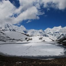
A massive landslide in 2010 transformed part of the river into Attabad Lake, which stretches 30 km with depths reaching 122 m. This event created an entirely new water landscape that is now a striking feature along the route.
The community of curious travelers
AroundUs brings together thousands of curated places, local tips, and hidden gems, enriched daily by 60,000 contributors worldwide.