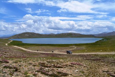
Sheosar Lake, Alpine lake in Deosai National Park, Pakistan
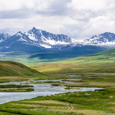
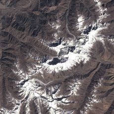
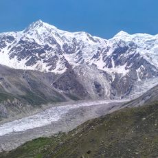
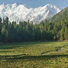
Sheosar Lake is an alpine lake within Deosai National Park situated at approximately 4100 meters elevation, stretching about 2 kilometers in length with barren mountain terrain surrounding its shores. The water sits in a flat high valley nestled between two major mountain ranges, appearing deep blue during summer months.
The name originates from the Shina language, combining words meaning blind and lake to form its current designation. The high valley has been traversed by travelers and herders across centuries and is now part of a protected national park.
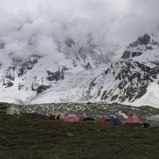
The lake holds significance for local herding communities who have used these high plains for generations as seasonal pastures. For visitors today, the site represents a connection between the mountains and the people who live in this remote region.
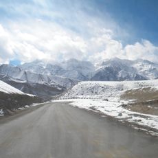
The lake is best visited during summer months from June through September when the roads are passable and the water is not frozen. Reaching the site requires a sturdy vehicle as the high-altitude routes are unpaved and rough in places.
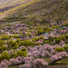
The water freezes solid from November through May, creating a flat frozen surface that sometimes becomes traversable on foot. During spring and early summer, the surrounding plains suddenly burst with wildflowers and butterfly species that seem surprising at such elevation.
The community of curious travelers
AroundUs brings together thousands of curated places, local tips, and hidden gems, enriched daily by 60,000 contributors worldwide.