Pakalita, summit in Pakistan
Location: Federally Administered Tribal Areas
Elevation above the sea: 1,825 m
GPS coordinates: 32.39389,69.61194
Latest update: March 5, 2025 17:44
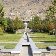
Gardens of Babur
238.5 km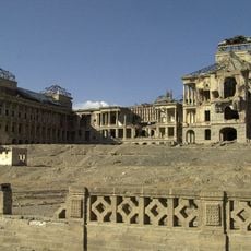
Darul Aman Palace
235.1 km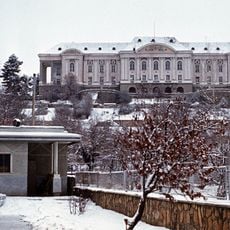
Tajbeg Palace
234.1 km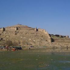
Bala Hissar
238.3 km
Forward Operating Base Chapman
110 km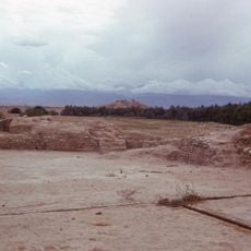
Hadda
233.6 km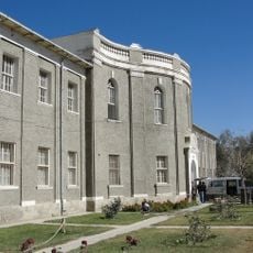
National Museum of Afghanistan
235.3 km
Takht-e-Sulaiman
84.9 km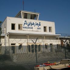
Forward Operating Base Fenty
238.1 km
Tapa Shotor
233.5 km
Gomal Zam Dam
41.5 km
Ghazni Minarets
170.6 km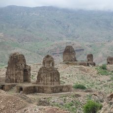
Kafir Kot
162.1 km
Citadel of Ghazni
169.9 km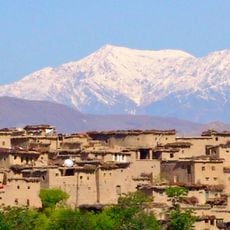
Sikaram Sar
185.2 km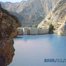
Namal Lake
208.1 km
Palace of Sultan Mas'ud III
170.3 km
Ali Masjid Fort
238.2 km
Shagai Fort
238.3 km
Forward Operating Base Arian
167 km
Salehabad
216.8 km
Sphola Stupa
239 km
Bannu Cantonment
114 km
Behzad Cinema
239.2 km
Khanqah Daep Sharif
231.9 km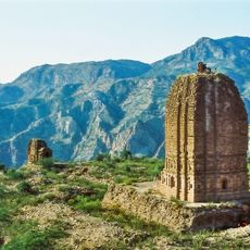
Amb Temples
218.7 km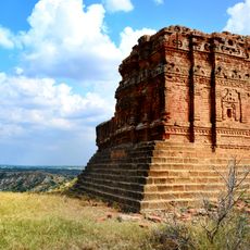
Sassi da Kallara
229.9 km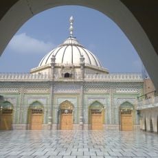
Thal Gumbad Mosque
139.3 kmReviews
Visited this place? Tap the stars to rate it and share your experience / photos with the community! Try now! You can cancel it anytime.
Discover hidden gems everywhere you go!
From secret cafés to breathtaking viewpoints, skip the crowded tourist spots and find places that match your style. Our app makes it easy with voice search, smart filtering, route optimization, and insider tips from travelers worldwide. Download now for the complete mobile experience.

A unique approach to discovering new places❞
— Le Figaro
All the places worth exploring❞
— France Info
A tailor-made excursion in just a few clicks❞
— 20 Minutes