
Mona Wad, summit in Pakistan
Location: Balochistan
Elevation above the sea: 1,213 m
GPS coordinates: 26.35728,66.79347
Latest update: March 29, 2025 18:40
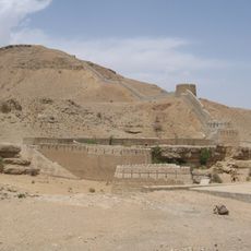
Ranikot Fort
125.5 km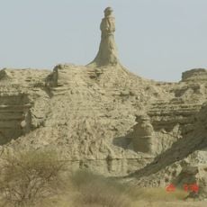
Hingol National Park
140.8 km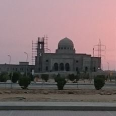
Grand Jamia Mosque, Karachi
155.1 km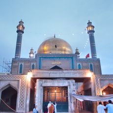
Shrine of Lal Shahbaz Qalandar
106.5 km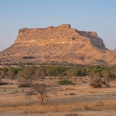
Kirthar National Park
126.1 km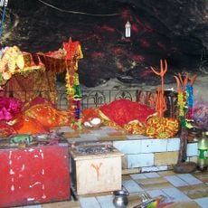
Hinglaj Mata
158.7 km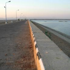
Hub Dam
127.4 km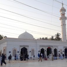
Baitul Mukarram Masjid
164 km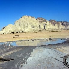
Hingol mud volcano
137.6 km
Safari Park
163.1 km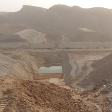
Nai Gaj Dam
77.9 km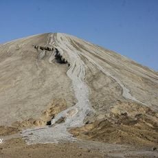
Chandragup
137.6 km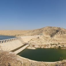
Darawat Dam
156.1 km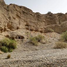
Gondrani
58.1 km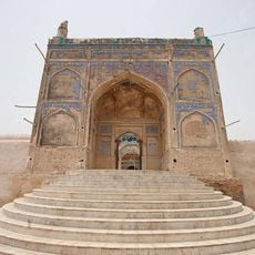
Jamia Mosque
95.8 km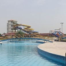
Wild Ventures Water Park
154.1 km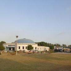
PIA Planetarium, Karachi
164.4 km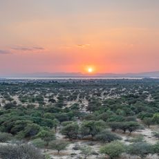
Hub Dam Wildlife Sanctuary
127 km
Qamar House
163.8 km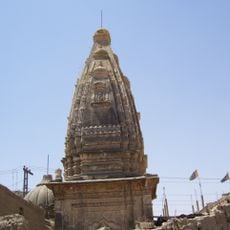
Shiva Mandir Johi
89.4 km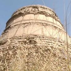
Thul Mir Rukan
131.4 km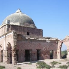
Gobindram Darbar
152.1 km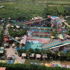
Picnic World Water Park
163.1 km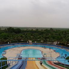
Cosy Water Park
149.8 km
Al Mehran Water Park
157 km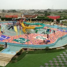
Burhani Recreational Park
144.8 km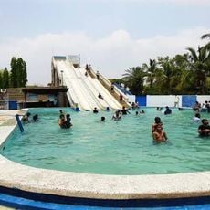
Samzu Water Park
148.1 km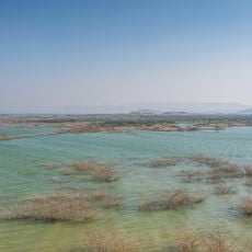
Hub Dam Reservoir
123.3 kmReviews
Visited this place? Tap the stars to rate it and share your experience / photos with the community! Try now! You can cancel it anytime.
Discover hidden gems everywhere you go!
From secret cafés to breathtaking viewpoints, skip the crowded tourist spots and find places that match your style. Our app makes it easy with voice search, smart filtering, route optimization, and insider tips from travelers worldwide. Download now for the complete mobile experience.

A unique approach to discovering new places❞
— Le Figaro
All the places worth exploring❞
— France Info
A tailor-made excursion in just a few clicks❞
— 20 Minutes