Pīr Thān, summit in Pakistan
Location: Khyber Pakhtunkhwa
Elevation above the sea: 1,282 m
GPS coordinates: 33.94926,72.72492
Latest update: March 16, 2025 20:52
Taxila
23.4 km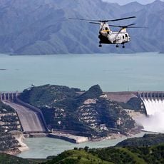
Tarbela Dam
15.8 km
Margala Hills National Park
31.2 km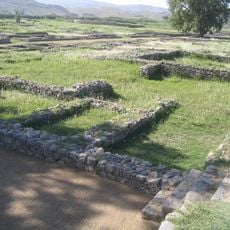
Sirkap
23.7 km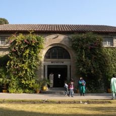
Taxila Museum
24.1 km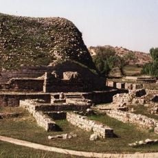
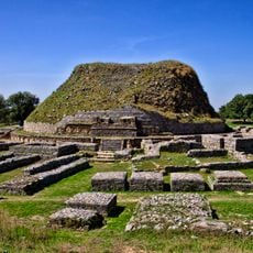
Dharmarajika Stupa
25.2 km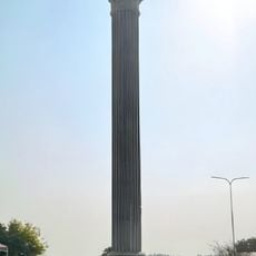
Hund
27.9 km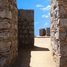
Jaulian
24.8 km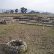
Bhir Mound
24.6 km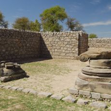
Jandial
22.7 km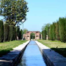
Wah Gardens
16.6 km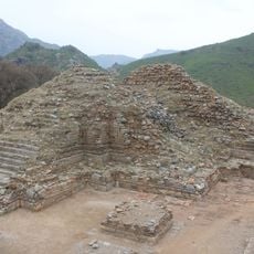
Bhamala Stupa
26.6 km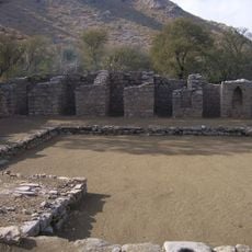
Mohra Muradu
24.2 km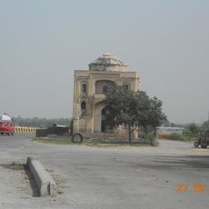
Tomb of Lala Rukh
14.6 km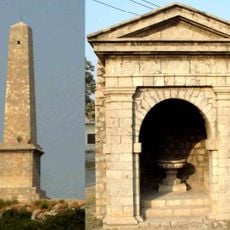
Nicholson's Obelisk
28.9 km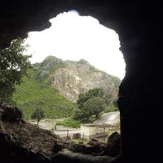
Shah Allah Ditta caves
30.8 km
Sirsukh
22.7 km
Taxila Cantonment
25.9 km
Kunala Stupa
24.2 km
Rajgan Mosque
24.7 km
Hakimon ka Maqbara
14.6 km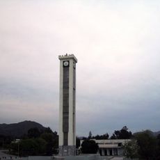
GIK Institute Clock Tower
15.2 km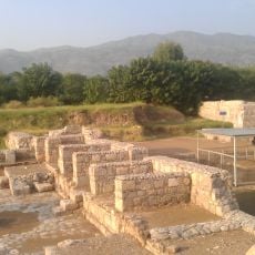
Jinnan Wali Dheri
22.1 km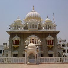
Gurdwara Panja Sahib
14.8 km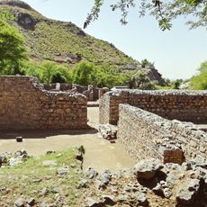
Khanpur Cave
23.9 km
Badalpur Buddhist stupa and monastery
22.5 km
Baja Wildlife Park
24.7 km
Hund Museum
27.9 kmReviews
Visited this place? Tap the stars to rate it and share your experience / photos with the community! Try now! You can cancel it anytime.
Discover hidden gems everywhere you go!
From secret cafés to breathtaking viewpoints, skip the crowded tourist spots and find places that match your style. Our app makes it easy with voice search, smart filtering, route optimization, and insider tips from travelers worldwide. Download now for the complete mobile experience.

A unique approach to discovering new places❞
— Le Figaro
All the places worth exploring❞
— France Info
A tailor-made excursion in just a few clicks❞
— 20 Minutes