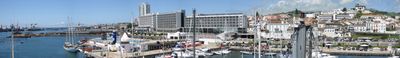
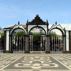
Ponta Delgada, Administrative capital in São Miguel Island, Portugal
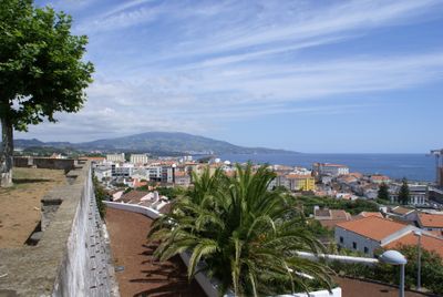
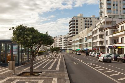
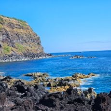
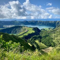
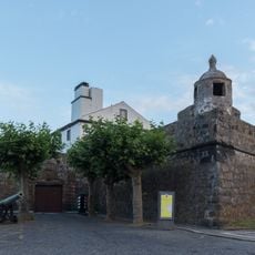
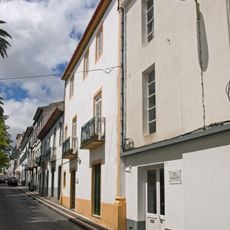
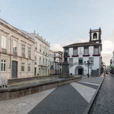
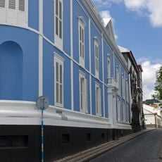
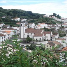
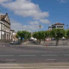
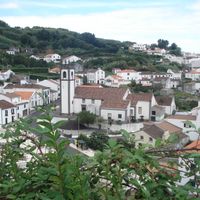
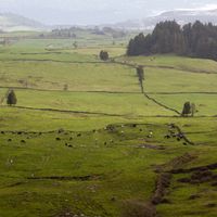
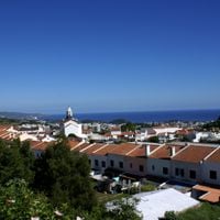
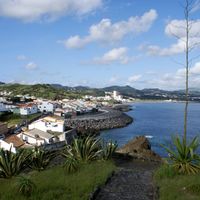
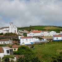
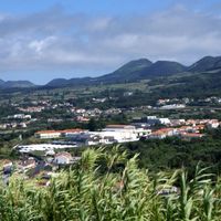
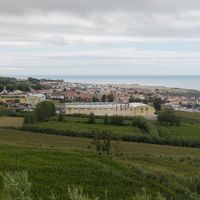
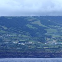
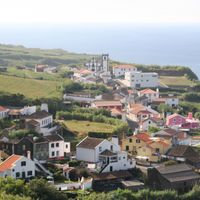
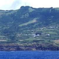
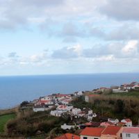
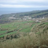
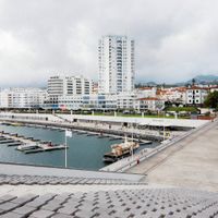
The city sits on the southern coast of São Miguel Island, serving as the main administrative center with 24 parishes spread across volcanic terrain. Streets lead from the harbor area to residential districts in the hills, where black basalt walls surround properties.
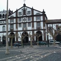
A fishing settlement took shape from 1450 and grew into a harbor town, receiving urban rights in 1507. After the 1522 earthquake shifted island life here, the town became the main center of the region.
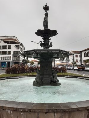
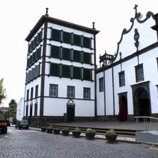
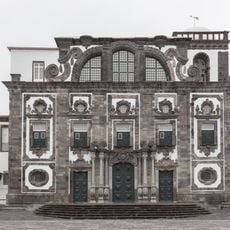
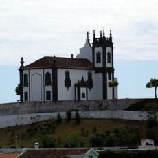
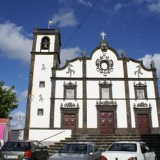
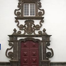
The name comes from a narrow rocky point by the sea described by early settlers. Locals gather in the central squares for conversation, while churches become focal points of community life during feast days.
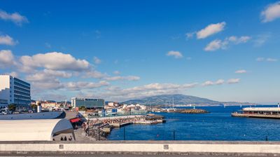
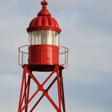
João Paulo II Airport sits outside town and connects the Azores with the mainland and some European destinations. The harbor receives cargo vessels and cruise ships, remaining a busy point of arrival for visitors.
The Lord Holy Christ of the Miracles festival lasts several weeks and peaks with a procession where thousands carry a statue through the streets. Visitors can walk through lanes decorated with flowers and lights during this period.
Location: Azores
Inception: 1450
Elevation above the sea: 0 m
Shares border with: Ribeira Grande, Lagoa
Address: Ponta Delgada, Portugal
Phone: +351296304400
Email: geral@mpdelgada.pt
Website: https://cm-pontadelgada.pt
GPS coordinates: 37.74000,-25.67000
Latest update: December 4, 2025 19:02
Miradouro da Vista do Rei
15.6 km
Augusto Arruda Pineapple Plantation
3.6 km
Sete Cidades Massif
16.6 km
Ponta da Ferraria
20.8 km
Boca do Inferno Viewpoint
14.1 km
Puertas de la Ciudad
145 m
Convent of Nossa Senhora da Esperança (Ponta Delgada)
350 m
Fort Saint Blaise
482 m
Sahar Hassamain Synagogue
34 m
Church of the Jesuit College
402 m
Municipal Palace/Hall of Ponta Delgada
117 m
Conceição Palace
207 m
Santo António
13.5 km
Escola Secundária Antero de Quental
175 m
Recreational Forest Reserve of Pinhal da Paz
5.8 km
Jardim José do Canto
946 m
Praça 5 de Outubro
384 m
Church of Mãe de Deus (Ponta Delgada)
922 m
Teatro Micaelense
386 m
Zona de Paisagem Protegida das Sete Cidades
16.2 km
Ponta da Ferraria Lighthouse
20.3 km
Santa Clara Lighthouse
1.6 km
Church of São Roque
3.8 km
Jewish cemetery of Ponta Delgada
1.7 km
Church of Nossa Senhora da Conceição
199 m
Monumento Natural Regional do Pico das Camarinhas e Ponta da Ferraria
20.7 km
Church of Santo António
13.6 km
Convento e Igreja da Graça
530 mReviews
Visited this place? Tap the stars to rate it and share your experience / photos with the community! Try now! You can cancel it anytime.
Santo António
Arrifes
São José
Fajã de Cima
Rosto do Cão (São Roque)
Mosteiros
Santa Clara
Fajã de Baixo
Santa Bárbara
Pilar da Bretanha
Capelas
Relva
Candelária
Ajuda da Bretanha
Livramento
Fenais da Luz
Ginetes
Covoada
São Vicente Ferreira
Remédios
Feteiras
Sete Cidades
Ponta Delgada (São Pedro)
Ponta Delgada (São Sebastião)
Discover hidden gems everywhere you go!
From secret cafés to breathtaking viewpoints, skip the crowded tourist spots and find places that match your style. Our app makes it easy with voice search, smart filtering, route optimization, and insider tips from travelers worldwide. Download now for the complete mobile experience.
A unique approach to discovering new places❞
— Le Figaro
All the places worth exploring❞
— France Info
A tailor-made excursion in just a few clicks❞
— 20 Minutes