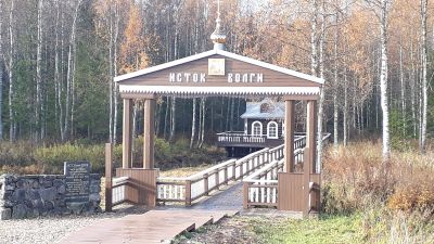
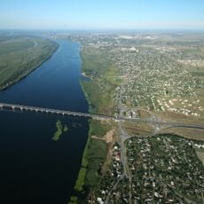
Volga, River system in Central Russia.
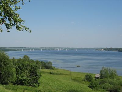
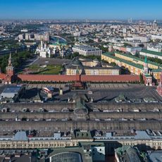
The waterway runs through fifteen regions from Tver to Astrakhan, linking major cities across 3,530 kilometers (2,193 miles) of Russian territory. Wide sections alternate with narrow channels while reservoirs and tributaries shape the landscape between forests and plains.
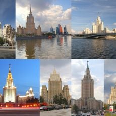
During medieval centuries a trade route formed between northern Europe and the Caspian Sea that merchants used to carry goods across long distances. Later steamships and canals opened new connections to other waters.
Boat excursions and river cruises between cities reveal how residents use the waterway as a living artery for travel and gathering. Along the banks families meet for picnics while fishermen cast their nets and vendors sell local produce near the landings.
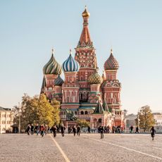
Major cities along the waterway offer landing points for sightseeing while remote stretches of shore can be reached by footpaths. Boat trips between key locations take several hours or days depending on the route.
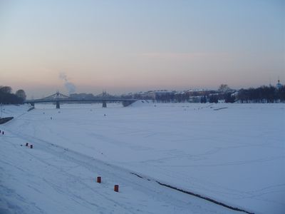
The system forms Europe's largest waterway by volume and contains more than 151,000 kilometers (93,827 miles) of navigable channels that link five different seas through canals. Before dam construction spring floods rose so high that riverside villages had to be evacuated temporarily.
The community of curious travelers
AroundUs brings together thousands of curated places, local tips, and hidden gems, enriched daily by 60,000 contributors worldwide.