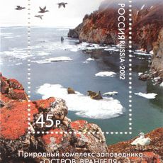
Chukotka Autonomous Okrug, Autonomous region in northeastern Russia
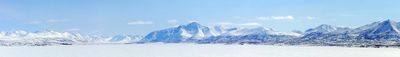
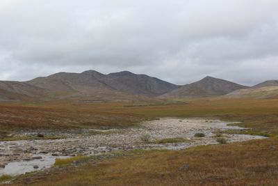
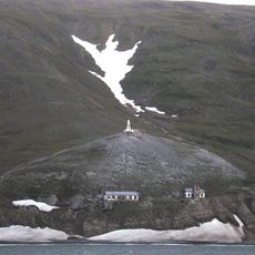
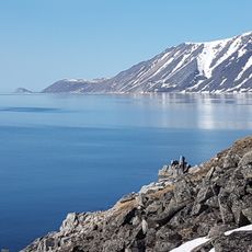
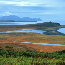
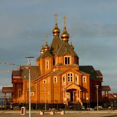
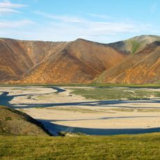
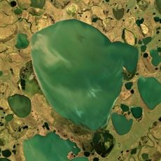
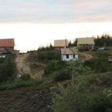
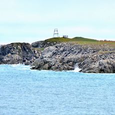
The Chukotka Autonomous Okrug is a remote administrative region at the extreme northeastern tip of Russia, where Siberia meets the Pacific Ocean. The landscape consists of treeless tundra plains, rugged mountain ranges, and a long windswept coastline along the Bering Sea, dotted with small settlements and fishing villages.
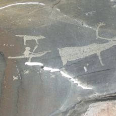
Russian explorers first reached this area in the mid-17th century, gradually establishing trading posts along the coast. The status as a separate autonomous district was formalized in 1930, granting the indigenous peoples a degree of self-governance.
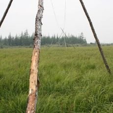
Indigenous Chukchi communities still move across the arctic landscape with their reindeer herds, living in tents during seasonal migrations. Visitors can observe how knowledge about hunting, fishing, and survival in extreme cold passes from elder family members to younger generations.
Travelers need a special permit from Russian authorities to enter this region, and should apply for documents several months in advance. Most locations are reachable only by small aircraft or helicopter, as paved roads are nearly nonexistent.
On clear days, residents of coastal villages can see Alaska across the Bering Strait, just about 51 miles (82 kilometers) away. In winter, the sea between the two continents sometimes freezes solid, and in the past people and animals crossed the ice on foot.
The community of curious travelers
AroundUs brings together thousands of curated places, local tips, and hidden gems, enriched daily by 60,000 contributors worldwide.