Tuwaiq, Mountain range near Riyadh, Saudi Arabia
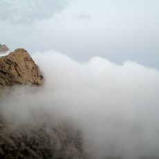
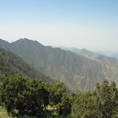
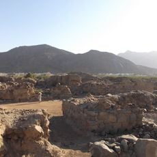
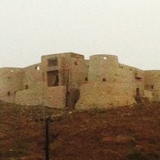
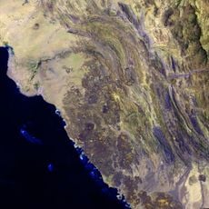
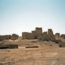
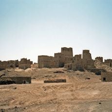
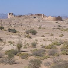
Tuwaiq is a narrow limestone escarpment running about 800 km from the southern border of Al-Qasim to the northern edge of the Rub' al Khali near Wadi ad-Dawasir. It rises 600 m and exposes a Middle Jurassic stratigraphic section. Its eastern side slopes down gradually, while the western side ends abruptly. The flat-topped rim is pale tan and beige, cut by vertical erosion channels, with a rounded cap near the left-centre and another raised section toward the right.
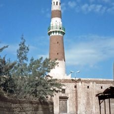
The region served as a retreat for Saudi forces in 1818 when they withdrew from an invasion. Centuries earlier, trade routes passed through the wadis that cut through the escarpment, linking Hadramaut with the interior of the Arabian Peninsula.
Tuwaiq is the diminutive of the Arabic word tawq, "ring", a form Arabs traditionally use to soften a name; the arc of the escarpment, whose two ends turn west, encloses a wide stretch of Najd. The old name Al-'Aridh, recorded by Yaqut in the 13th century, now refers only to the central section around Riyadh. The pre-Islamic poet Amr ibn Kulthum described Al-Yamama rearing up "like swords in the hands of our drawn swordsmen".
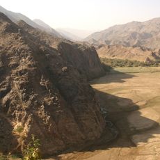
Large wadis such as Hanifa and Nisah cut through the limestone walls and form natural corridors where roads pass and settlements in the east connect with those on the plateau. The area lies close to Riyadh, making it accessible for hikers and day trippers who should arrive early in the morning to avoid heat.
Geological layers in the limestone date back to the Middle Jurassic and help researchers understand oil and gas reservoirs deep beneath the surface. The rock formations create natural arches and pillars in some places, drawing climbers and photographers, though they remain largely invisible from main roads.
The community of curious travelers
AroundUs brings together thousands of curated places, local tips, and hidden gems, enriched daily by 94,552 contributors worldwide.