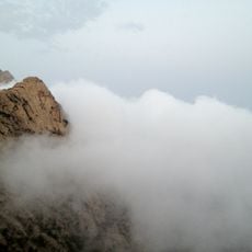
Kumdah, Oase in Saudi-Arabien
Location: Riyadh Province
Elevation above the sea: 640 m
GPS coordinates: 20.38944,45.07556
Latest update: May 3, 2025 08:56
Al-Baha Province
376.1 km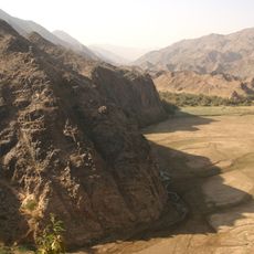
Najran Province
337.5 km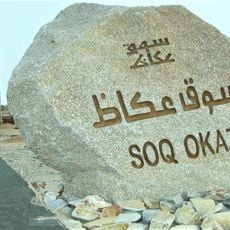
Souq Okadh
476.1 km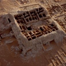
Qaryat al-Faw
67.9 km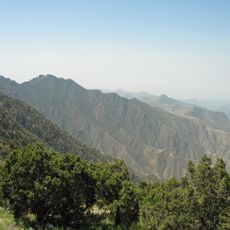
Jabal Sawda
369.9 km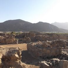
Al-Ukhdud
337.5 km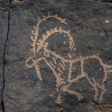
Bir Hima Rock Petroglyphs and Inscriptions
247.1 km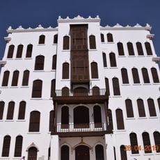
Shubra palace
495 km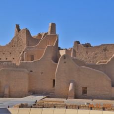
Salwa Palace
507.6 km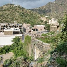
Rijal Almaa
381.3 km
Asir Mountains
370 km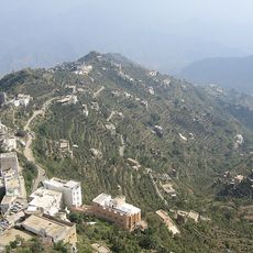
Fifa Mountains
404.9 km
Shaharah Bridge
489.7 km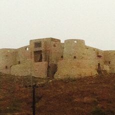
قلعة الدوسرية
472.3 km
Najran Valley Dam
350.2 km
Al Hokair Time
494.2 km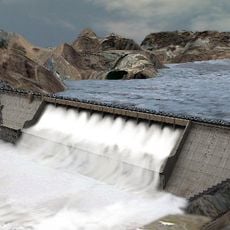
Hali Dam
409.1 km
Jizan Dam
433.7 km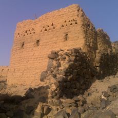
Shanqal Fort
367 km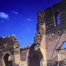
قلعة أبو عريش
448.6 km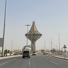
Al Kharj Tower
478.4 km
Harrat al Birk
425.8 km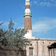
Al-Hadi Mosque
408.2 km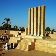
Kaminahu
467.7 km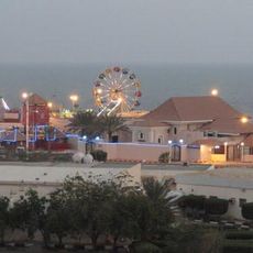
Awqat Saeeda Theme Park
473.3 km
Taif Zoo
492.4 km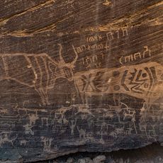
Minshaf
237.4 km
Adh Dhalma
326.8 kmReviews
Visited this place? Tap the stars to rate it and share your experience / photos with the community! Try now! You can cancel it anytime.
Discover hidden gems everywhere you go!
From secret cafés to breathtaking viewpoints, skip the crowded tourist spots and find places that match your style. Our app makes it easy with voice search, smart filtering, route optimization, and insider tips from travelers worldwide. Download now for the complete mobile experience.

A unique approach to discovering new places❞
— Le Figaro
All the places worth exploring❞
— France Info
A tailor-made excursion in just a few clicks❞
— 20 Minutes