Tuolpagorni, Mountain summit in Norrbotten County, Sweden
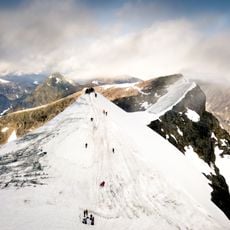
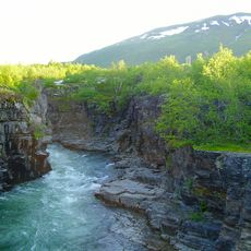
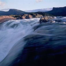
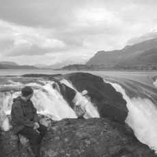
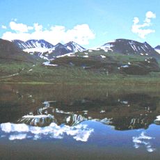
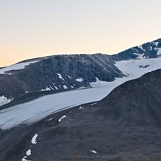
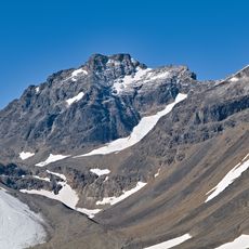
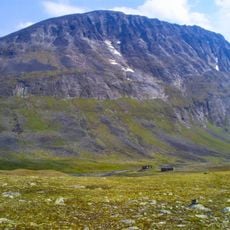
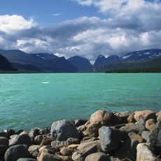
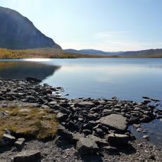
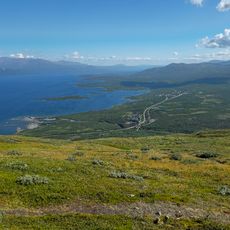
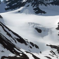
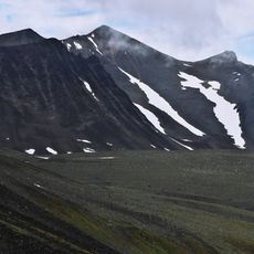
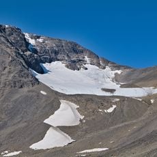
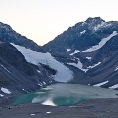
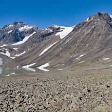
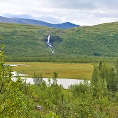
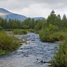
Tolpagorni is a 1,672-metre peak in the Kebnekaise massif, Kiruna Municipality, with a round crater-like hollow just below its summit. The hollow resembles a volcanic crater but was probably formed by a niche glacier; in spring, meltwater collects in a pool at its bottom and spills over the rim into the valley. East of the mountain, Kittelbäcken stream flows down to join Láddjujohka.
Tolpagorni appeared on a map as early as 1832. At that time cartographers believed the highest mountain, not the most conspicuous one, had been marked, so Sweden's highest peak was given the name Kebnekaise and a new name was created for Tolpagorni. The mountain was initially called Giebnnegájsse in Lule Sámi, meaning "kettle peak".
The name comes from Sámi duolba, "kettle", and gorni, "peak", after the crater-like hollow just below the summit. Lule Sámi speakers first called it Giebnnegájsse, "kettle top". The Swedish form Tolpagorni and the Northern Sámi Duolbagorni are the same name in different orthographies.
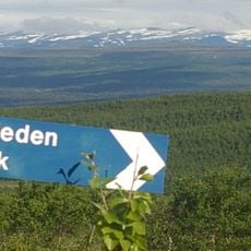
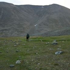
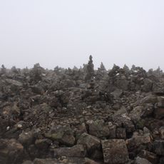
The summit is reached from the north via the Västra Leden trail through the Kittelbäcken valley, then left toward Vieranvarri; the steep scree path is marked with red dots on stones. The final 200 metres of ascent are pathless and require finding your own route over scree. The rock face facing the Kebnekaise mountain station can only be climbed on climbing routes.
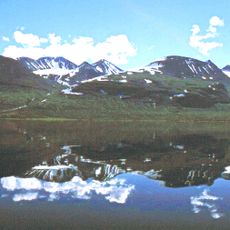
The crater-like hollow just below the summit is not volcanic: it was probably carved by a niche glacier. In spring, meltwater gathers in a small lake at its bottom and spills over the rim into the valley below.
The community of curious travelers
AroundUs brings together thousands of curated places, local tips, and hidden gems, enriched daily by 93,427 contributors worldwide.