Zara, district in Sivas Province, Turkey
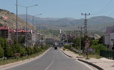
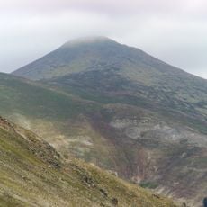
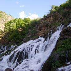
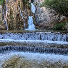
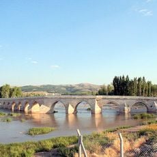
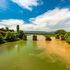
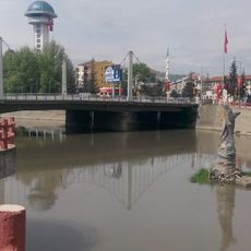
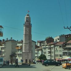
Zara is a district and town in Sivas Province, in the heart of central Anatolia, set on elevated terrain surrounded by hills and river valleys. The town is built around narrow streets and traditional stone and mud-brick houses, with the Kızılırmak River passing nearby.
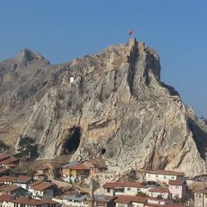
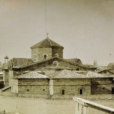
The area around Zara was settled in ancient times and lay along routes crossing Anatolia, which gave it a role beyond that of a simple village. Under Byzantine rule it became a fortified post, and the Ottomans later turned it into an administrative district it remains today.
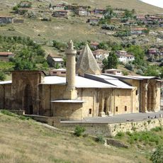
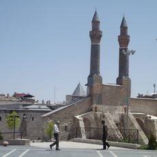
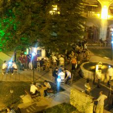
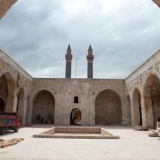
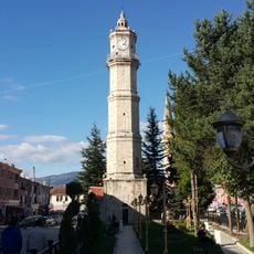
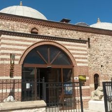
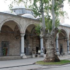
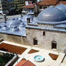
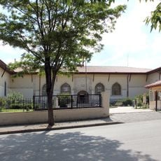
In Zara, mosques are visible meeting points that shape the rhythm of daily life beyond prayer, serving as places where people gather for community events. Walking through the town, visitors notice how streets and small squares are oriented around these central spaces.
Zara sits off the main tourist routes, so facilities are basic and the town is best explored on foot through its compact center. Visiting in spring or early autumn gives the most agreeable conditions, as summers can be dry and winters harsh at this altitude.
Silver, lead, and copper were extracted from the hills around Zara for centuries, making the area an active mining zone long before it became a quiet administrative town. Almost no trace of this industry remains visible today, which makes it one of the more overlooked chapters of the region's past.
The community of curious travelers
AroundUs brings together thousands of curated places, local tips, and hidden gems, enriched daily by 60,000 contributors worldwide.