Enable Location

We need your location to show you interesting places around you

Discover nearby places

Find interesting locations and hidden gems around you

Precise directions

Get accurate directions and distances to places

Your location is never shared with other users. It's only used when you tap the location button.

Ağrı

Log in to your account

Start exploring — it's free

Trusted by 63,022 travelers worldwide

Continue with Google
Continue with Apple
or

We will send you a code to connect

By continuing, you accept our Terms and Conditions and our Privacy Policy

Check your inbox

We've sent a pincode in your inbox. Please enter the code below.

Ağrı
Discussion Reviews 1 Photos
32k Popularity

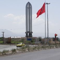
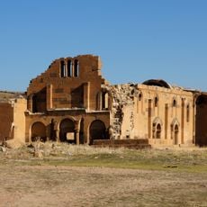
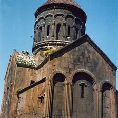
Ağrı, Provincial capital in Eastern Anatolia, Turkey.

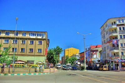
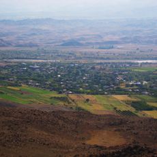
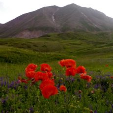
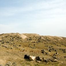
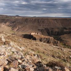
Ağrı is the provincial capital of Eastern Anatolia, situated in the valley of the Murat River at 1,640 meters elevation. The city sits close to the Iranian border and Mount Ararat, occupying a strategic location in the region.

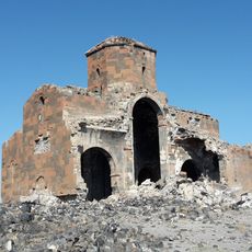
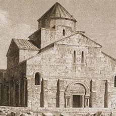
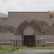
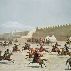
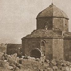
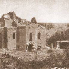
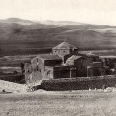
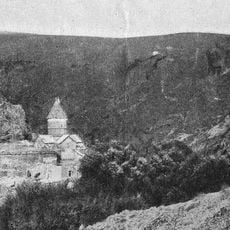
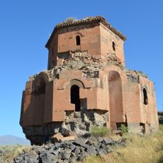
The settlement was founded in 1860 when Armenian merchants from Bitlis established a town called Karakilise, later renamed Karaköse. The current name was adopted in 1946, marking a change in the city's identity.

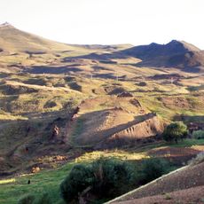
The city is home to Kurdish and Turkish communities whose daily life revolves around farming and herding animals. Traditional practices shape local celebrations that mark the seasons of harvest and pastoral work.

The city serves as a major transportation hub connecting Turkey to Iran via highways and supporting regional trade. Visitors should prepare for the high elevation and cold winters, which affect travel conditions and planning.

The surrounding mountains and high elevation create harsh winter conditions where temperatures plunge to minus 16 degrees Celsius. These severe conditions produce extended snow cover that shapes daily life throughout the cold season.

The community of curious travelers

AroundUs brings together thousands of curated places, local tips, and hidden gems, enriched daily by 60,000 contributors worldwide.

Start exploring
Location
Elevation above the sea
1,640 m
GPS coordinates
39.72250,43.05444
Latest update
December 20, 2025 00:49
Reviews
Share your experience

No review yet

Discussions
Start a discussion...

No discussion yet

« Ağrı - Provincial capital in Eastern Anatolia, Turkey » is provided by Around Us (aroundus.com). Images and texts are derived from Wikimedia project under a Creative Commons license. You are allowed to copy, distribute, and modify copies of this page, under the conditions set by the license, as long as this note is clearly visible.

Discover hidden gems everywhere you go!

From secret cafés to breathtaking viewpoints, skip the crowded tourist spots and find places that match your style. Our app makes it easy with voice search, smart filtering, route optimization, and insider tips from travelers worldwide. Download now for the complete mobile experience.

Around Us App Screenshot

A unique approach to discovering new places

Le Figaro

All the places worth exploring

France Info

A tailor-made excursion in just a few clicks

20 Minutes

Around Us
Travel Guide & Maps
Download

Send to your phone

QR Code
1

Open the camera app on your mobile.

2

Point at the QR code with your camera. A notification will appear.

3

Tap the notification to open the link.