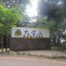
Heping District, Mountain indigenous district in eastern Taichung, Taiwan.
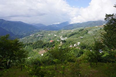
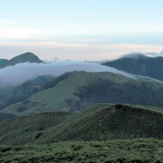
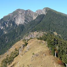
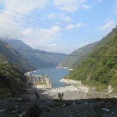
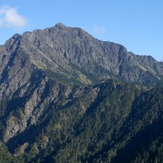
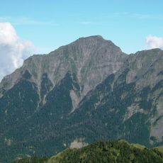
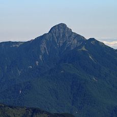
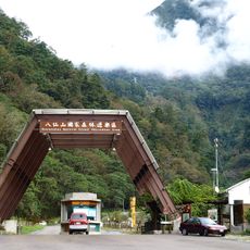
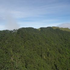
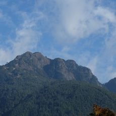
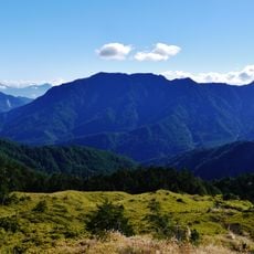
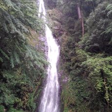
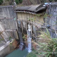
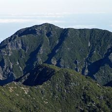
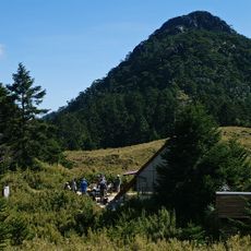
Heping District is a mountain administrative division in eastern Taichung that spans a broad expanse of terrain across eight rural villages. The area features dense forests, steep slopes, and several river valleys running through the landscape.
The area became a district in 2010 after administrative changes combined the mountain counties into the current city structure. This reorganization merged the long-established mountain communities with a larger urban administration.
The Atayal people shape daily life across the eight villages here and keep their traditions alive in this mountain region. Visitors can see traditional crafts and local customs practiced in the communities.
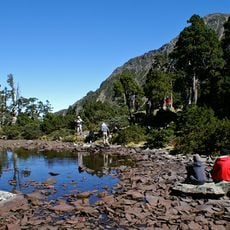
The area is reached best by mountain roads, with local buses running on weekends and holidays. Visitors should bring proper footwear and clothing for changing mountain weather and watch for road conditions.
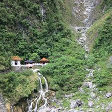
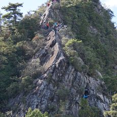
Guguan Hot Springs draws visitors with natural thermal pools surrounded by suspension bridges and mountain hiking trails. This combination of hot water and wild terrain attracts those seeking relaxation within the mountain landscape.
Location: Taichung
Elevation above the sea: 1,945 m
Shares border with: Dongshi District, Xinshe District, Jianshi Township, Zhuolan Township, Tai-an Township, Guosing Township, Ren-ai Township, Datong Township, Nan'ao Township, Xiulin Township
Website: https://heping.taichung.gov.tw
GPS coordinates: 24.26667,121.15000
Latest update: December 7, 2025 10:04
Hehuanshan
19.2 km
Shei-Pa National Park
21.6 km
Xueshan
15.4 km
Wuling Farm
18.3 km
Nanhu Mountain
31.2 km
Holy Ridge
21.2 km
Guguan, Taiwan
16.4 km
Yuanzui Mountain
20 km
Dasyueshan National Forest Recreation Area
17.9 km
Qilaishan North Peak
25 km
Pintianshan
21.5 km
Central Range Point
27.4 km
大甲溪發電廠
24.8 km
Shimenshan
18.7 km
Basianshan National Forest Recreation Area
16 km
Bilushan
20.9 km
Taoshan
24.3 km
Daxueshan
7.7 km
Pingfengshan
23.5 km
Taoshan Waterfall
22.5 km
Xueshan East Peak
18.4 km
Kukuan Dam
8.4 km
Xueshan North Peak
18.9 km
Chryou Shan
23.1 km
Kunyang, Nantou
20.3 km
Dajianshan
9.7 km
Shilin Weir
23.4 km
Shaolai Mountain
18.4 kmVisited this place? Tap the stars to rate it and share your experience / photos with the community! Try now! You can cancel it anytime.
Discover hidden gems everywhere you go!
From secret cafés to breathtaking viewpoints, skip the crowded tourist spots and find places that match your style. Our app makes it easy with voice search, smart filtering, route optimization, and insider tips from travelers worldwide. Download now for the complete mobile experience.
A unique approach to discovering new places❞
— Le Figaro
All the places worth exploring❞
— France Info
A tailor-made excursion in just a few clicks❞
— 20 Minutes