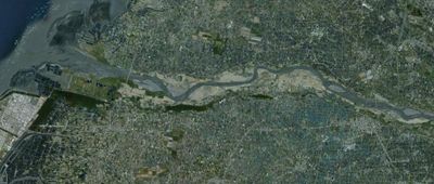
Zhuoshui River, Major river in central Taiwan.
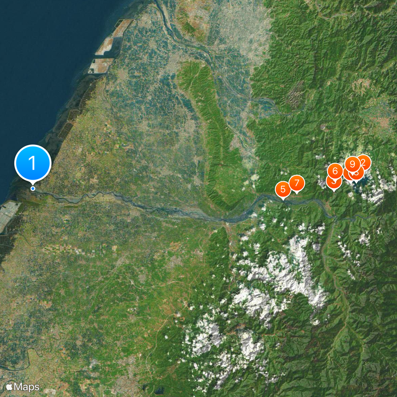
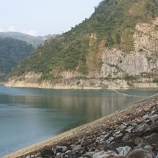
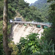
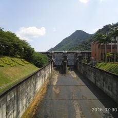
Zhuoshui River is a major waterway in central Taiwan that flows 203 kilometers through the landscape, forming county boundaries before reaching the Taiwan Strait. The wide riverbed carries large volumes of sediment throughout the year, giving the banks a characteristic brown tint.
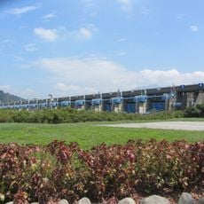
The waterway has served for centuries as a natural dividing line between the northern and southern parts of the island, influencing where early farming communities settled. The first major bridge spanning the river was built during the 1950s, connecting previously separate regions.
The name translates to muddy or turbid water, reflecting the sediment-rich nature of the waterway that has shaped farming practices in the surrounding plains for centuries. Villages along the banks today still adapt their daily routines to the changing water levels.
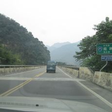
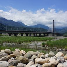
Crossing one of the bridges offers a clear view of the wide riverbed and surrounding plains. The waterway carries the most water during the rainy season from June through September, when its flow is at its strongest.
The river sometimes carries so little water during dry months that large sections of the riverbed become visible, with birds foraging on the exposed sand. During the rainy season, the same waterway can transform within hours into a rushing torrent that fills the entire width of the channel.
The community of curious travelers
AroundUs brings together thousands of curated places, local tips, and hidden gems, enriched daily by 60,000 contributors worldwide.