Changhua County, Administrative division in western Taiwan
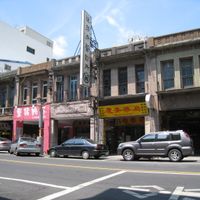
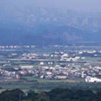
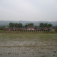
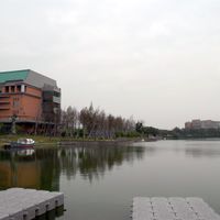
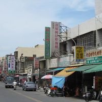
Changhua County is an administrative unit on the western coast of Taiwan positioned between Taichung City and Yunlin County. The territory runs from the Taiwan Strait in the west to the foothills of the central mountain range in the east, covering farmland, small towns, and coastal plains.
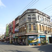
The Babuza people originally called the area Poasoa before Han Chinese settlers arrived in the 17th century and established their communities. The migration permanently changed the region and led to the formation of its current administrative structure during the Qing Dynasty.
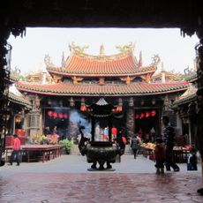
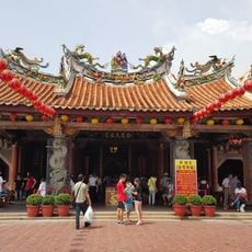
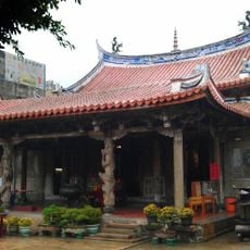
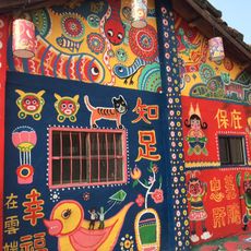
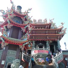
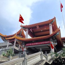
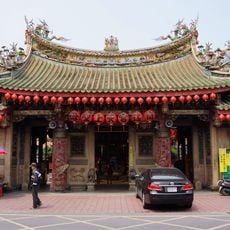
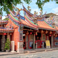
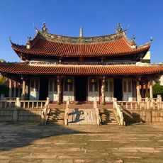
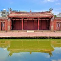
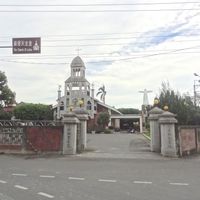
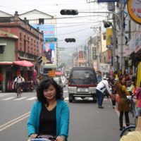
The name Changhua comes from the indigenous Babuza language and residents often shorten it to Kang-á in everyday conversation. Locals celebrate religious festivals at temples such as the Baguashan shrine, which shapes the spiritual and daily rhythm of the region.
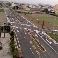
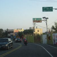
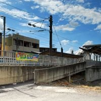
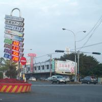
Visitors find orientation through the area easier using the two national highways, while several railway stations provide entry points for exploration. The best time to travel is between October and March when temperatures are milder and rainfall is lower.
On Baguashan hill stands a 72-foot (22-meter) Buddha statue visible from great distances across the flatlands. The sculpture was built in the 1960s from concrete and now serves as a landmark for travelers crossing the plain.
The community of curious travelers
AroundUs brings together thousands of curated places, local tips, and hidden gems, enriched daily by 60,000 contributors worldwide.