Enable Location

We need your location to show you interesting places around you

Discover nearby places

Find interesting locations and hidden gems around you

Precise directions

Get accurate directions and distances to places

Your location is never shared with other users. It's only used when you tap the location button.

Westport

Log in to your account

Start exploring — it's free

Trusted by 61,927 travelers worldwide

Continue with Google
Continue with Apple
or

We will send you a code to connect

By continuing, you accept our Terms and Conditions and our Privacy Policy

Check your inbox

We've sent a pincode in your inbox. Please enter the code below.

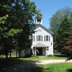
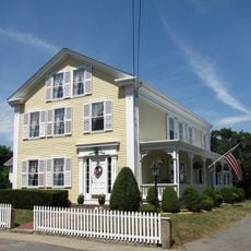
Westport, Coastal town in Bristol County, Massachusetts

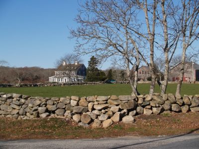
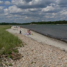
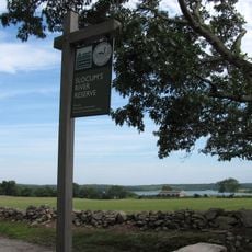
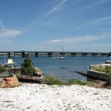
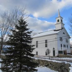
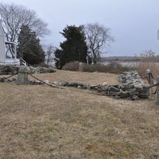
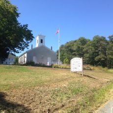
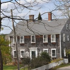
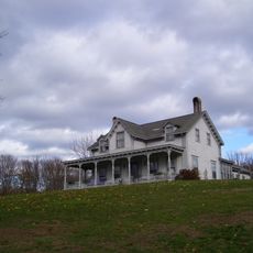
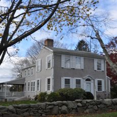
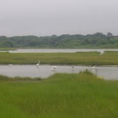
Westport is a coastal town in Bristol County, Massachusetts, that spans across land and water, featuring natural ponds and a harbor that opens to Rhode Island Sound. The settlement includes several neighborhoods and maintains roads connecting different parts of the town.

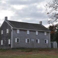
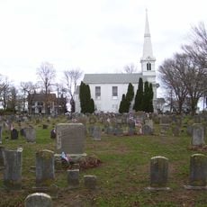
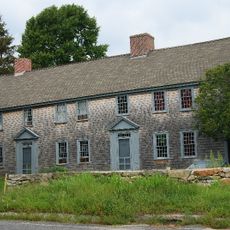
The land was originally home to the Wampanoag Nation and saw conflicts between English settlers and Native Americans during the colonial period. It became an independent town in 1787 after separating from a neighboring community.

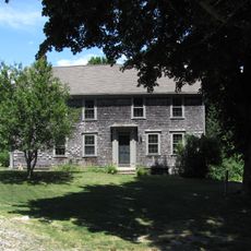
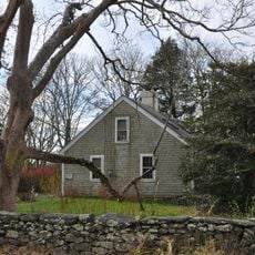
The community preserves its farming roots through local protections for agricultural land and supports fishing operations that have shaped daily life for generations. These traditions remain visible in how people use the land and waterfront today.

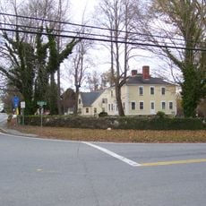
The area is accessible via established roads and well-serviced by local facilities including police and fire departments located in residential areas. Visitors should know that most amenities are concentrated in the central neighborhoods.

Paul Cuffe, a ship builder with Wampanoag and African heritage, operated a successful shipyard on a local river in the late 1700s. He is remembered as one of the wealthiest Black Americans of his time in the nation's history.

The community of curious travelers

AroundUs brings together thousands of curated places, local tips, and hidden gems, enriched daily by 60,000 contributors worldwide.

Start exploring
Location
Inception
1670
Elevation above the sea
15 m
GPS coordinates
41.63889,-71.05000
Latest update
December 14, 2025 18:02
Around this place
Buttonwood Park Zoo
United States of America

Buttonwood Park Zoo

8.2 km
Notre Dame de Lourdes Church
United States of America

Notre Dame de Lourdes Church

8.9 km
Comet
United States of America

Comet

640 m
Demarest Lloyd State Park
United States of America

Demarest Lloyd State Park

13.7 km
Westport Town Farm
United States of America

Westport Town Farm

7 km
St. Joseph's Orphanage
United States of America

St. Joseph's Orphanage

9.1 km
Rhode Island Red Monument
United States of America

Rhode Island Red Monument

11.5 km
Slocum's River Reserve
United States of America

Slocum's River Reserve

10.3 km
Prince Henry the Navigator
United States of America

Prince Henry the Navigator

9 km
Tiverton Four Corners Historic District
United States of America

Tiverton Four Corners Historic District

13.7 km
Paul Cuffe Farm
United States of America

Paul Cuffe Farm

10.1 km
Apponegansett Meeting House
United States of America

Apponegansett Meeting House

7.6 km
Little Compton Common Historic District
United States of America

Little Compton Common Historic District

17.6 km
Normand Edward Fontaine Bridge
United States of America

Normand Edward Fontaine Bridge

13.6 km
William Whalley Homestead
United States of America

William Whalley Homestead

14.5 km
Russells Mills Village Historic District
United States of America

Russells Mills Village Historic District

8.2 km
Notre Dame School
United States of America

Notre Dame School

9.1 km
Jesus Marie Convent
United States of America

Jesus Marie Convent

9 km
Westport Point Historic District
United States of America

Westport Point Historic District

13 km
Hixville Village Historic District
United States of America

Hixville Village Historic District

5 km
Russell Garrison
United States of America

Russell Garrison

9 km
Cadman-White-Handy House
United States of America

Cadman-White-Handy House

7.8 km
First Baptist Church of Tiverton
United States of America

First Baptist Church of Tiverton

11.6 km
Tucker Farm Historic District
United States of America

Tucker Farm Historic District

5.8 km
Greany Building
United States of America

Greany Building

9.3 km
Osborn-Bennett Historic District
United States of America

Osborn-Bennett Historic District

12.4 km
Hill School
United States of America

Hill School

10.8 km
Allens Pond Wildlife Sanctuary
United States of America

Allens Pond Wildlife Sanctuary

14.9 km
Show the full map
« Westport - Coastal town in Bristol County, Massachusetts » is provided by Around Us (aroundus.com). Images and texts are derived from Wikimedia project under a Creative Commons license. You are allowed to copy, distribute, and modify copies of this page, under the conditions set by the license, as long as this note is clearly visible.

Discover hidden gems everywhere you go!

From secret cafés to breathtaking viewpoints, skip the crowded tourist spots and find places that match your style. Our app makes it easy with voice search, smart filtering, route optimization, and insider tips from travelers worldwide. Download now for the complete mobile experience.

Around Us App Screenshot

A unique approach to discovering new places

Le Figaro

All the places worth exploring

France Info

A tailor-made excursion in just a few clicks

20 Minutes

Around Us
Travel Guide & Maps
Download

Send to your phone

QR Code
1

Open the camera app on your mobile.

2

Point at the QR code with your camera. A notification will appear.

3

Tap the notification to open the link.