
Randolph County, County administrative division in southern Illinois, US
Randolph County extends along the Mississippi River, encompassing 597 square miles of land with rolling hills, forests, and agricultural territories.
Established in 1795, the county holds the distinction of being one of Illinois's earliest administrative regions, named after Virginia Governor Edmund Randolph.
The Randolph County Museum in Chester preserves the oldest public records in Illinois, documenting the development of local communities since their foundation.
The county provides access through Illinois Routes 3, 4, and 13, connecting visitors to outdoor recreation areas, historical sites, and neighboring communities.
The Mississippi River altered the county's boundaries in 1881 by separating Kaskaskia from the mainland, requiring the relocation of its historical cemetery.
Location: Illinois
Inception: October 5, 1795
Capital city: Chester
Shares border with: St. Clair County, Perry County, Monroe County, Washington County, Jackson County, Ste. Genevieve County
Website: http://randolphco.org
GPS coordinates: 38.05000,-89.82000
Latest update: May 27, 2025 14:04

Fort de Chartres
29.9 km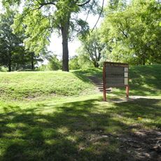
Fort Kaskaskia State Historic Site
12 km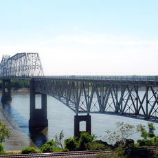
Chester Bridge
16.4 km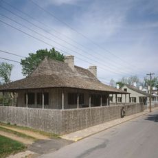
Louis Bolduc House
21.1 km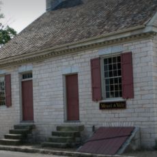
Felix Vallé House State Historic Site
21.2 km
Modoc Rock Shelter
21.4 km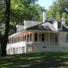
Pierre Menard House
12.3 km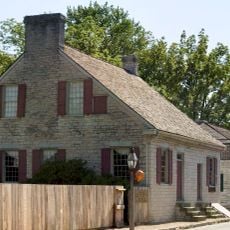
Ste. Genevieve Historic District
21.1 km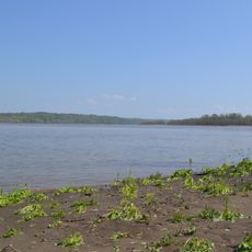
Middle Mississippi River National Wildlife Refuge
17.1 km
French Colonial Historic District
27.4 km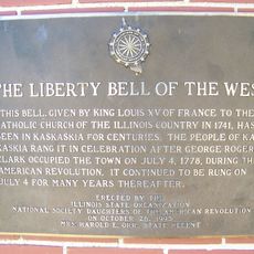
Kaskaskia Bell State Memorial
16.4 km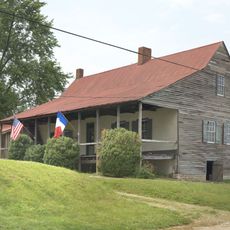
Amoureux House
21.1 km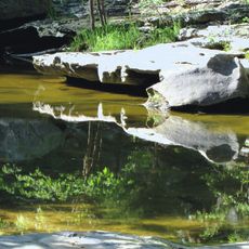
Piney Creek Ravine State Natural Area
23.2 km
Kolmer Site
32 km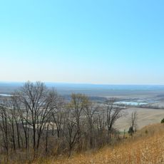
Fults Hill Prairie State Natural Area
8.2 km
Creole House
24.6 km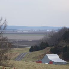
Bois Brule Bottom
23.5 km
Jacques Guibourd Historic House
21.5 km
Sacred Heart Roman Catholic Church
27.9 km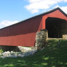
Mary's River Covered Bridge
12.2 km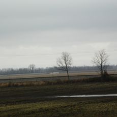
Le Grand Champ Bottom
19.2 km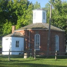
Charter Oak Schoolhouse
4.9 km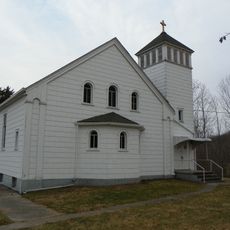
St. John the Evangelist Roman Catholic Church
24.9 km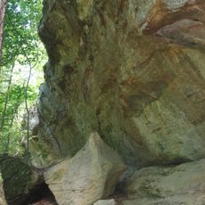
Tegtmeyer Site
23.3 km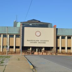
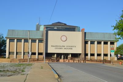
Randolph County Courthouse
16.3 km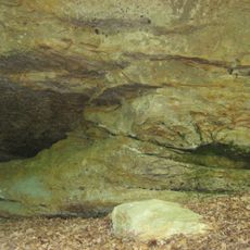
Piney Creek West Site
23.4 km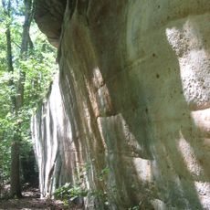
Piney Creek Site
23.5 km
Red Bud Historic District
23.3 kmReviews
Visited this place? Tap the stars to rate it and share your experience / photos with the community! Try now! You can cancel it anytime.
Discover hidden gems everywhere you go!
From secret cafés to breathtaking viewpoints, skip the crowded tourist spots and find places that match your style. Our app makes it easy with voice search, smart filtering, route optimization, and insider tips from travelers worldwide. Download now for the complete mobile experience.

A unique approach to discovering new places❞
— Le Figaro
All the places worth exploring❞
— France Info
A tailor-made excursion in just a few clicks❞
— 20 Minutes