Herkimer County

Log in to your account

AroundUs is a community-driven map of interesting places, built by curious explorers like you. It grows with every review, story, and photo you share.
Connect to save your favorite spots, contribute locations, and create personalized routes.
Continue with Google
Continue with Apple
Continue with X
Continue with Facebook
Continue with email
By continuing, you accept our Terms and Conditions and our Privacy Policy
Create an account
Add to collection
Map
Suggest a change
Share

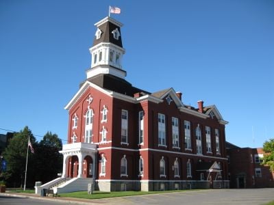
Herkimer County, Administrative division in New York, United States.

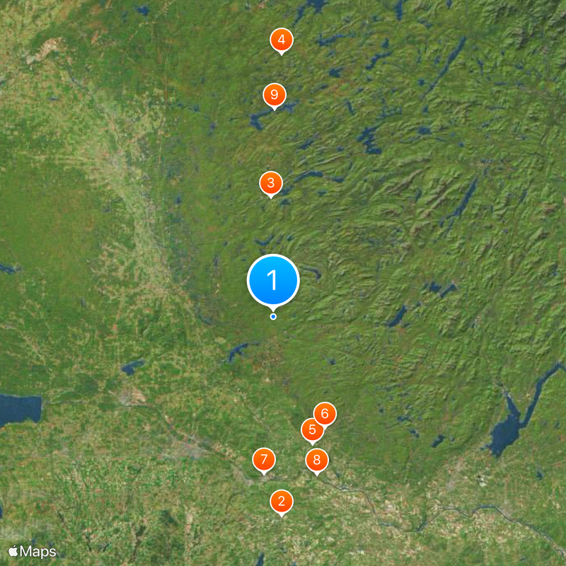
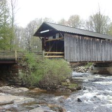
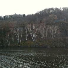
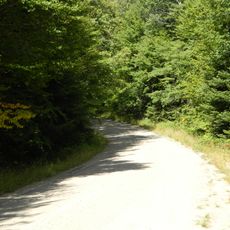
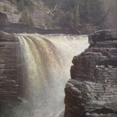
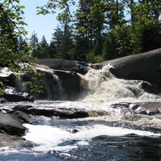
Herkimer County is located in central New York and covers a region with rolling forests, sections of the Adirondack Mountains, and the Mohawk River valley running through it. The landscape consists of natural areas interspersed with smaller towns and communities that blend into the surrounding terrain.

The county was established in 1791 when it separated from Montgomery County after the region had played an important role during the struggle for independence. Naming it after General Herkimer recognized his leadership during that pivotal period.

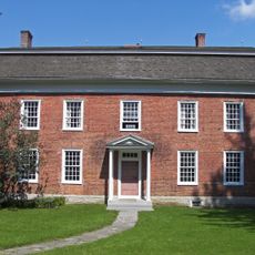
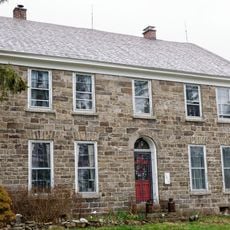
The county takes its name from General Nicholas Herkimer, a leader from the American Revolutionary era whose legacy remains part of local identity today. You can feel this connection at historical sites and in conversations with residents who take pride in their regional roots.

Interstate 90 runs through the area and connects it to larger cities in the region for those driving. For rail travelers, Amtrak service is available in nearby Utica, offering connections to more distant destinations.

The region is known for double-terminated quartz crystals called Herkimer diamonds that formed in dolomite limestone deposits. These sparkling crystals attract collectors and mineral enthusiasts who visit to search for them.

Location: New York

Inception: 1791

Capital city: Herkimer

Shares border with: St. Lawrence County, Otsego County, Hamilton County, Fulton County, Montgomery County, Oneida County, Lewis County

Website: http://herkimercounty.org

GPS coordinates: 43.41000,-74.96000

Latest update: December 19, 2025 22:46

Photos
Around this place
Holy Trinity Monastery
United States of America

Holy Trinity Monastery

53.8 km
Enchanted Forest Water Safari
United States of America

Enchanted Forest Water Safari

32.3 km
Five Ponds Wilderness Area
United States of America

Five Ponds Wilderness Area

70.7 km
United States of America

Schroeder's Pants Cave

35.9 km
Salisbury Center Bridge
United States of America

Salisbury Center Bridge

33 km
United States of America

Fort Dayton

42.5 km
Herkimer Home State Historic Site
United States of America

Herkimer Home State Historic Site

44.2 km
United States of America

Stillwater Reservoir

56 km
Moss Island
United States of America

Moss Island

42.2 km
Moose River Plains Wild Forest
United States of America

Moose River Plains Wild Forest

41.2 km
Trenton Falls
United States of America

Trenton Falls

21.2 km
Enchanted Forest Water Safari
United States of America

Enchanted Forest Water Safari

33.9 km
Covewood Lodge
United States of America

Covewood Lodge

46.1 km
Balloon Farm
United States of America

Balloon Farm

42.2 km
National Bottle Museum
United States of America

National Bottle Museum

46.2 km
United States of America

Forestport Tower

10.9 km
High Falls on the Oswegatchie River
United States of America

High Falls on the Oswegatchie River

73.4 km
Thomas Richardson House
United States of America

Thomas Richardson House

44 km
Overlook
United States of America

Overlook

40.9 km
Fort Herkimer Church
United States of America

Fort Herkimer Church

43.6 km
United States of America

Walcott-Rust quarry

20.7 km
United States of America

Pigeon Lake Wilderness Area

45.9 km
Remington House
United States of America

Remington House

47.8 km
United States of America

Ha-De-Ron-Dah Wilderness Area

36.1 km
Yale-Cady Octagon House and Yale Lock Factory Site
United States of America

Yale-Cady Octagon House and Yale Lock Factory Site

24.6 km
Herkimer County Jail
United States of America

Herkimer County Jail

42.6 km
Dolge Company Factory Complex
United States of America

Dolge Company Factory Complex

37.6 km
United States of America

Snells Bush Church and Cemetery

44 km
Show the full map
Reviews

Visited this place? Tap the stars to rate it and share your experience / photos with the community! Try now! You can cancel it anytime.

« Herkimer County - Administrative division in New York, United States » is provided by Around Us (aroundus.com). Images and texts are derived from Wikimedia project under a Creative Commons license. You are allowed to copy, distribute, and modify copies of this page, under the conditions set by the license, as long as this note is clearly visible.

Discover hidden gems everywhere you go!

From secret cafés to breathtaking viewpoints, skip the crowded tourist spots and find places that match your style. Our app makes it easy with voice search, smart filtering, route optimization, and insider tips from travelers worldwide. Download now for the complete mobile experience.

Around Us App Screenshot

A unique approach to discovering new places

Le Figaro

All the places worth exploring

France Info

A tailor-made excursion in just a few clicks

20 Minutes