Contiguous United States, Mainland territory in North America, United States
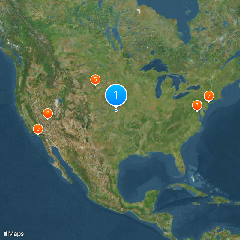
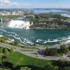
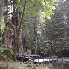
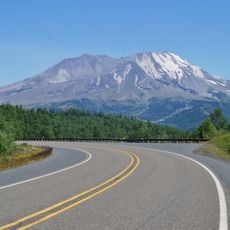
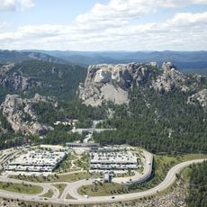
This territory includes 48 states and the District of Columbia, forming one connected landmass between Canada to the north and Mexico to the south. It stretches from the Atlantic Ocean on the east to the Pacific on the west, covering varied landscapes including coastal plains, mountain ranges, prairies, deserts and heavily forested zones that span several climate belts.
The present shape formed through a long series of land acquisitions and territorial expansions that began in the late 18th century and continued into the mid-19th. Alaska and Hawaii remained outside this connected area, which is why this definition was formally set in 1959.
Travelers here often cross multiple time zones in a single trip, and each region develops its own habits around pace and distance. People are used to understanding the land in regional terms, with the South, Midwest, West and Northeast each carrying different rhythms and ways of life that show up in speech, food and daily tempo.
Travelers should expect that distances between cities and regions can be considerable, often requiring several hours of driving or flying and involving different weather conditions. Infrastructure varies by region, with urban areas well connected while rural zones may need more planning and often a personal vehicle.
The easternmost and westernmost points sit almost 4,500 kilometers (roughly 2,800 miles) apart, meaning the sun rises over three hours later in the west than in the east. Traveling coast to coast brings you through dramatic shifts in landscape, vegetation and local culture, even when speaking the same language.
The community of curious travelers
AroundUs brings together thousands of curated places, local tips, and hidden gems, enriched daily by 60,000 contributors worldwide.