Backbone Mountain, Mountain ridge in Garrett and Tucker Counties, United States.
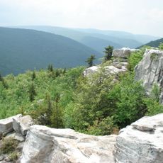
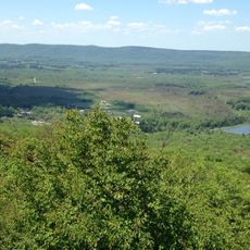
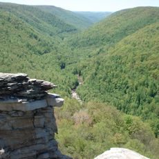
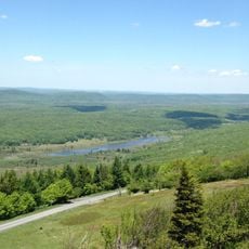
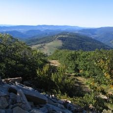
Backbone Mountain is a ridge that runs across Maryland and West Virginia, with its highest point reaching 3,360 feet (1,024 meters) in Garrett County. A trail system winds through the terrain, making it accessible to hikers of varying experience levels.
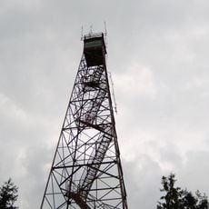
A fire observation tower was built on the mountain in 1922, marking the start of organized forest fire monitoring in West Virginia. This tower became part of a broader network for detecting fires across the region.
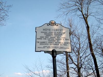
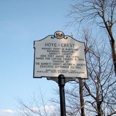
The mountain serves as a boundary marker between Maryland and West Virginia, and local visitors gather at the Hoye-Crest marker to acknowledge the state's highest geographical point. The site draws those who want to experience this significant location firsthand.
Hikers can reach the mountain trail from U.S. Route 219, where orange blazes mark the main path through the area. Wearing sturdy footwear and bringing water is wise, especially for longer walks on this elevated terrain.
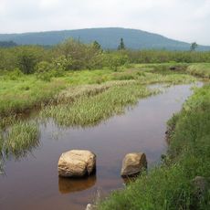
Crabtree Woods on the northwest slopes holds one of the region's largest tracts of old-growth forest, spanning 500 acres of mixed Appalachian hardwoods. This expansive woodland is a rare example of undisturbed forest in the area.
The community of curious travelers
AroundUs brings together thousands of curated places, local tips, and hidden gems, enriched daily by 60,000 contributors worldwide.