Chest opened
+${chestReward.xp} XP
Explorer
NOUVEAU ×${chestReward.collectible.quantity}
tapez pour fermer

See the monuments around you in AR Open chests in the app

Around Us is built for your phone — point your camera at the streets and discover the monuments and places around you in augmented reality. Around Us is built for your phone — chests unlock when you walk, explore and capture nearby places.

Enable Location

We need your location to show you interesting places around you

Discover nearby places

Find interesting locations and hidden gems around you

Precise directions

Get accurate directions and distances to places

Your location is never shared with other users. It's only used when you tap the location button.

Rust Belt

Log in to your account

Start exploring — it's free

Trusted by 84,905 travelers worldwide

Continue with Google
Continue with Apple
or

We will send you a code to connect

By continuing, you accept our Terms and Conditions and our Privacy Policy

Check your inbox

We've sent a pincode in your inbox. Please enter the code below.

Discussion Reviews 2 Photos
451k Popularity

Rust Belt, Industrial territory in northeastern United States

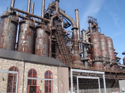
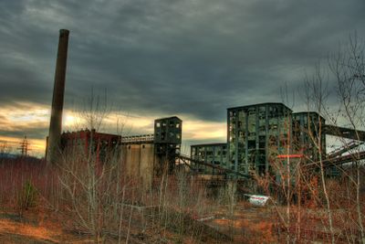
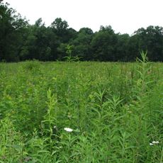
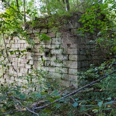
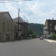
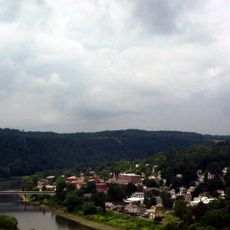
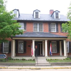
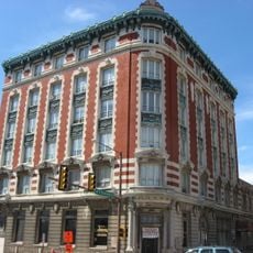
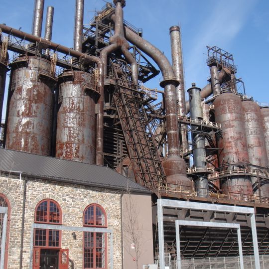
The Rust Belt covers parts of Michigan, Minnesota, Ohio, Iowa, Pennsylvania and Wisconsin, forming a vast former manufacturing zone across the northeastern United States. This territory stretches over multiple states, marked today by aging factories, closed steel plants and cities navigating economic transition.

During the 20th century, this region grew into a center of steel production and automobile manufacturing, creating thousands of factory jobs across its cities. Economic decline began in the 1980s when companies moved operations abroad, leaving behind closed plants and job losses.

Many cities across this region still carry traditions rooted in factory work, where community halls and local diners reflect the rhythm of shift schedules and union gatherings. Workers' neighborhoods maintain a shared memory of industrial life, visible in murals, annual festivals and the enduring pride of labor heritage.

Visitors can explore this region by car, as cities are often spread far apart and public transport between them remains limited. Autumn and spring offer comfortable weather for touring, while winters here tend to be cold and snowy.

The name comes from the rusted remains of closed factories and industrial sites left behind after companies moved elsewhere. These visible traces of abandonment still shape the landscape of many cities and gave the region its enduring label.

The community of curious travelers

AroundUs brings together thousands of curated places, local tips, and hidden gems, enriched daily by 60,000 contributors worldwide.
Start exploring
GPS coordinates
40.94670,-79.89200
Latest update
August 31, 2026 14:56
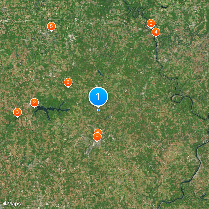
Around this place
Moraine State Park
United States of America

Moraine State Park

12.3 mi
McConnells Mill State Park
United States of America

McConnells Mill State Park

16.3 mi
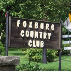
Foxburg Country Club
United States of America

Foxburg Country Club

17.9 mi
Wendell August Forge
United States of America

Wendell August Forge

17.6 mi
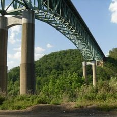
Emlenton Bridge
United States of America

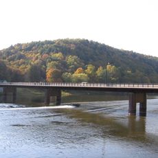
Emlenton Bridge

18.7 mi
Elm Court
United States of America

Elm Court

5.4 mi
Jennings Environmental Education Center
United States of America

Jennings Environmental Education Center

7.3 mi
Butler County Courthouse
United States of America

Butler County Courthouse

6.1 mi
Allegheny River Lock and Dam No. 9
United States of America

Allegheny River Lock and Dam No. 9

18 mi
Harmony Historic District
United States of America

Harmony Historic District

15.9 mi
Parker Bridge
United States of America

Parker Bridge

15.4 mi
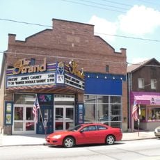
Strand Theater
United States of America

Strand Theater

16.5 mi
McConnell's Mill Covered Bridge
United States of America

McConnell's Mill Covered Bridge

14.5 mi
Foxburg Bridge
United States of America

Foxburg Bridge

17.3 mi
Saxonburg Historic District
United States of America

Saxonburg Historic District

14.1 mi
Bradys Bend Iron Company Furnaces
United States of America

Bradys Bend Iron Company Furnaces

14.3 mi
Emlenton Historic District
United States of America

Emlenton Historic District

18.7 mi
Emlenton Low Level Bridge
United States of America

Emlenton Low Level Bridge

18.5 mi
Sen. Walter Lowrie House
United States of America

Sen. Walter Lowrie House

6.1 mi
St. Stephen's Church
United States of America

St. Stephen's Church

14 mi
Passavant House
United States of America

Passavant House

16.6 mi
Butler Historic District
United States of America

Butler Historic District

6 mi
Sergeant Carl F. Curran II Bridge
United States of America

Sergeant Carl F. Curran II Bridge

14.8 mi
Foxburg Bridge
United States of America

Foxburg Bridge

17.3 mi
Butler County National Bank
United States of America

Butler County National Bank

6.1 mi
Lakeview Beach
United States of America

Lakeview Beach

11.5 mi
Pleasant Valley Beach
United States of America

Pleasant Valley Beach

10.2 mi
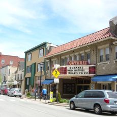
Guthrie Theatre
United States of America

Guthrie Theatre

17.8 mi
Show the full map
Reviews
Share your experience

No review yet

Discussions
Start a discussion...

No discussion yet

« Rust Belt - Industrial territory in northeastern United States » is provided by Around Us (aroundus.com). Images and texts are derived from Wikimedia project under a Creative Commons license. You are allowed to copy, distribute, and modify copies of this page, under the conditions set by the license, as long as this note is clearly visible.

Discover hidden gems everywhere you go!

From secret cafés to breathtaking viewpoints, skip the crowded tourist spots and find places that match your style. Our app makes it easy with voice search, smart filtering, route optimization, and insider tips from travelers worldwide. Download now for the complete mobile experience.
Around Us App Screenshot

A unique approach to discovering new places

Le Figaro

All the places worth exploring

France Info

A tailor-made excursion in just a few clicks

20 Minutes

Around Us
Travel Guide & Maps
Download

Send to your phone

QR Code
1

Open the camera app on your mobile.

2

Point at the QR code with your camera. A notification will appear.

3

Tap the notification to open the link.