Enable Location

We need your location to show you interesting places around you

Discover nearby places

Find interesting locations and hidden gems around you

Precise directions

Get accurate directions and distances to places

Your location is never shared with other users. It's only used when you tap the location button.

Cassville

Log in to your account

Start exploring — it's free

Trusted by 63,938 travelers worldwide

Continue with Google
Continue with Apple
or

We will send you a code to connect

By continuing, you accept our Terms and Conditions and our Privacy Policy

Check your inbox

We've sent a pincode in your inbox. Please enter the code below.

Discussion Reviews 1 Photos
15.9k Popularity

Cassville, city in Barry County, Missouri, United States

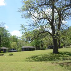
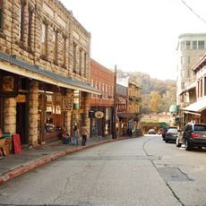
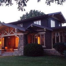
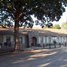
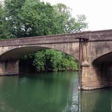
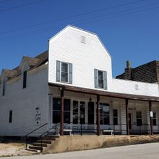
Cassville is a small city in Barry County in southwestern Missouri with a mix of old and new buildings, local shops and restaurants lining the main streets. The town sits in a hilly area near Flat Creek with quiet neighborhoods where residents often know each other.

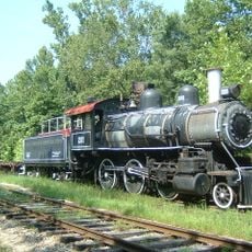
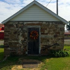
Cassville was established in 1845 as a stop along the Old Wire Road connecting Arkansas to Missouri and named after government leader Lewis Cass. During the Civil War, the town briefly served as the seat of the Confederate government in Missouri before Union forces gained control after the Battle of Pea Ridge.

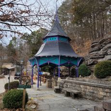
Cassville is rooted in traditions of family, faith, and community. Residents gather regularly for church services, community dinners, and local events like parades and fairs that bring people together and reinforce neighborhood bonds.

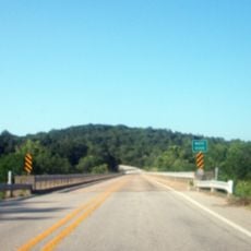
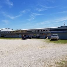
The town has a simple layout with small streets and main roads that are easy to navigate on foot or by car. Basic services like grocery stores, a post office, and medical clinics are conveniently located, making daily needs and visitor stays straightforward and hassle-free.

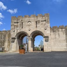
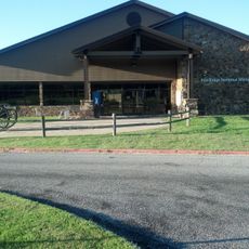
The town briefly served as the seat of the Confederate government of Missouri during the Civil War, a surprising historical role for such a small community. This short-lived chapter of importance is little known today but is recalled through murals and historical sites around town.

The community of curious travelers

AroundUs brings together thousands of curated places, local tips, and hidden gems, enriched daily by 60,000 contributors worldwide.

Start exploring
Location
Elevation above the sea
399 m
GPS coordinates
36.68000,-93.86944
Latest update
February 19, 2026 23:20
Around this place
Beaver Lake
United States of America

Beaver Lake

28.9 km
Christ of the Ozarks
United States of America

Christ of the Ozarks

32.8 km
Roaring River State Park
United States of America

Roaring River State Park

10.8 km
Onyx Cave
United States of America

Onyx Cave

31.3 km
Blue Springs Heritage Center
United States of America

Blue Springs Heritage Center

24.3 km
Beaver Bridge
United States of America

Beaver Bridge

25 km
Eureka Springs and North Arkansas Railway
United States of America

Eureka Springs and North Arkansas Railway

32 km
Lake Leatherwood City Park
United States of America

Lake Leatherwood City Park

28.9 km
United States of America

Jolly Mill

30.2 km
Eureka Springs Historic District
United States of America

Eureka Springs Historic District

33.1 km
Basin Park Hotel
United States of America

Basin Park Hotel

33.1 km
Powell Bridge
United States of America

Powell Bridge

28.8 km
Lewis Shaw Coleman House
United States of America

Lewis Shaw Coleman House

35.2 km
U.S. 62 White River Bridge
United States of America

U.S. 62 White River Bridge

25.8 km
Garfield Elementary School
United States of America

Garfield Elementary School

27.3 km
Miller Homestead
United States of America

Miller Homestead

33.9 km
White River Bridge at Elkins
United States of America

White River Bridge at Elkins

25 km
Mulladay Hollow Bridge
United States of America

Mulladay Hollow Bridge

28.8 km
Shady Grove School
United States of America

Shady Grove School

33 km
Coal Gap School
United States of America

Coal Gap School

35.4 km
Pea Ridge Commercial Historic District
United States of America

Pea Ridge Commercial Historic District

33.2 km
Lentz-Carter Merchandise Store
United States of America

Lentz-Carter Merchandise Store

30.2 km
Eureka Springs Historical Museum
United States of America

Eureka Springs Historical Museum

33.3 km
Deer Leap Trail
United States of America

Deer Leap Trail

10.4 km
Holy Land Tour
United States of America

Holy Land Tour

33.3 km
Crescent Spring
United States of America

Crescent Spring

32.6 km
Golden Pioneer Museum
United States of America

Golden Pioneer Museum

27.3 km
Pea Ridge National Military Park Visitor Center
United States of America

Pea Ridge National Military Park Visitor Center

29.8 km
Show the full map
Reviews
Share your experience

No review yet

Discussions
Start a discussion...

No discussion yet

« Cassville - city in Barry County, Missouri, United States » is provided by Around Us (aroundus.com). Images and texts are derived from Wikimedia project under a Creative Commons license. You are allowed to copy, distribute, and modify copies of this page, under the conditions set by the license, as long as this note is clearly visible.

Discover hidden gems everywhere you go!

From secret cafés to breathtaking viewpoints, skip the crowded tourist spots and find places that match your style. Our app makes it easy with voice search, smart filtering, route optimization, and insider tips from travelers worldwide. Download now for the complete mobile experience.

Around Us App Screenshot

A unique approach to discovering new places

Le Figaro

All the places worth exploring

France Info

A tailor-made excursion in just a few clicks

20 Minutes

Around Us
Travel Guide & Maps
Download

Send to your phone

QR Code
1

Open the camera app on your mobile.

2

Point at the QR code with your camera. A notification will appear.

3

Tap the notification to open the link.