Minneapolis–Saint Paul, Metropolitan statistical area in Minnesota and Wisconsin, United States.
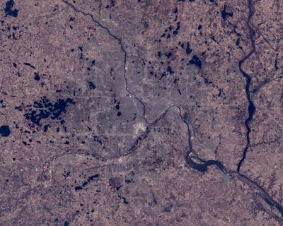
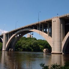
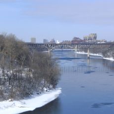
Minneapolis–Saint Paul is a metropolitan area spreading across 15 counties in Minnesota and Wisconsin, with Minneapolis sitting on the western bank and Saint Paul on the eastern bank of the Mississippi River. The two core cities lie roughly 9 miles (14 kilometers) apart, surrounded by suburbs, smaller towns, and agricultural areas extending into Wisconsin.
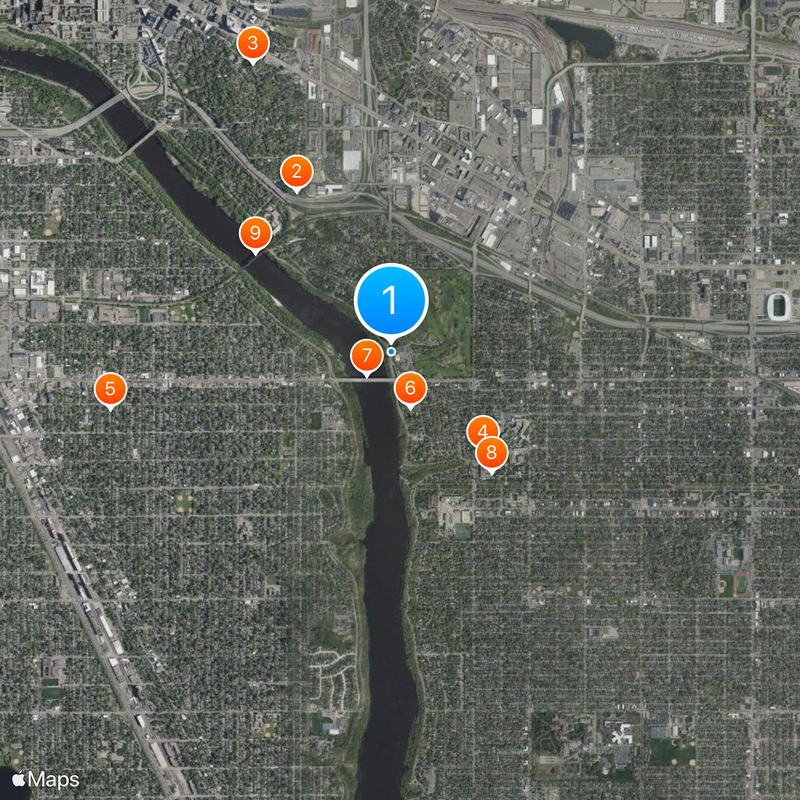
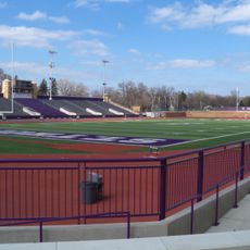
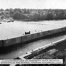
Fort Snelling was established in the early 1800s, prompting European settlements to form near the confluence of the Mississippi and Minnesota rivers. Both cities grew into major trading centers through lumber and flour milling, with their riverside location fueling transport and industry.
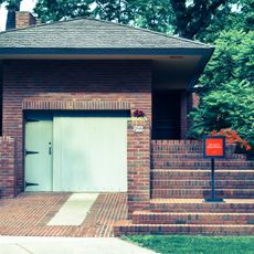
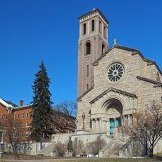
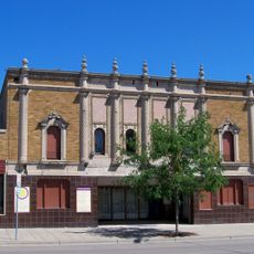
Both downtowns and surrounding neighborhoods host theater performances, concerts, and professional sports events throughout the year, drawing visitors from across the region. Local communities maintain Scandinavian, German, and African American traditions visible in festivals, restaurants, and neighborhood gatherings.
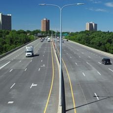
Metro Transit runs a wide network of buses and light rail lines connecting both cities and surrounding communities throughout the area. Drivers should expect snow and ice in winter, while pedestrians can explore both downtowns comfortably on foot, with many areas linked by covered walkways.
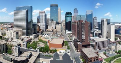
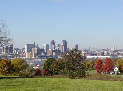
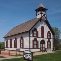
Both cities maintain their own municipal governments with separate mayors, councils, and services, even though they form one statistical area. This division means visitors experience two distinct downtowns, each with its own architecture, street layout, and local character, separated only by the river.
The community of curious travelers
AroundUs brings together thousands of curated places, local tips, and hidden gems, enriched daily by 60,000 contributors worldwide.