Chicago metropolitan area, Metropolitan statistical area in northeastern Illinois, US
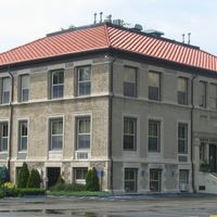
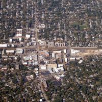
The Chicago metropolitan area stretches across 26,640 square kilometers through Illinois, Indiana and Wisconsin, containing suburbs that extend from the urban core to agricultural areas. Major cities such as Aurora, Naperville and Joliet sit within this region alongside smaller municipalities and rural pockets.
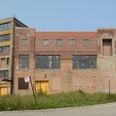
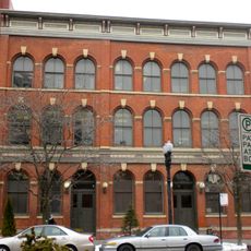
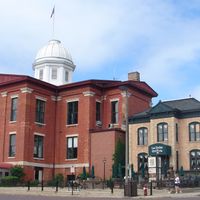
In the early 1850s, rail connections transformed scattered prairie settlements into growing suburban towns surrounding Chicago. Annexation of neighboring communities in the late 1800s and postwar suburban expansion shaped the current reach of the region.
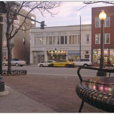
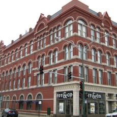
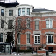
Suburbs maintain distinct local identities while downtown neighborhoods draw an international mix of residents and visitors. On weekends families populate parks along the waterfront, and many neighborhoods host street festivals celebrating different ethnic communities.
Most visitors orient themselves using the commuter rail network that links the city center with major suburbs, while outlying communities are easier to reach by car. Paved paths along the waterfront and through parks are generally accessible, though winter conditions bring snow and ice that make movement more challenging.
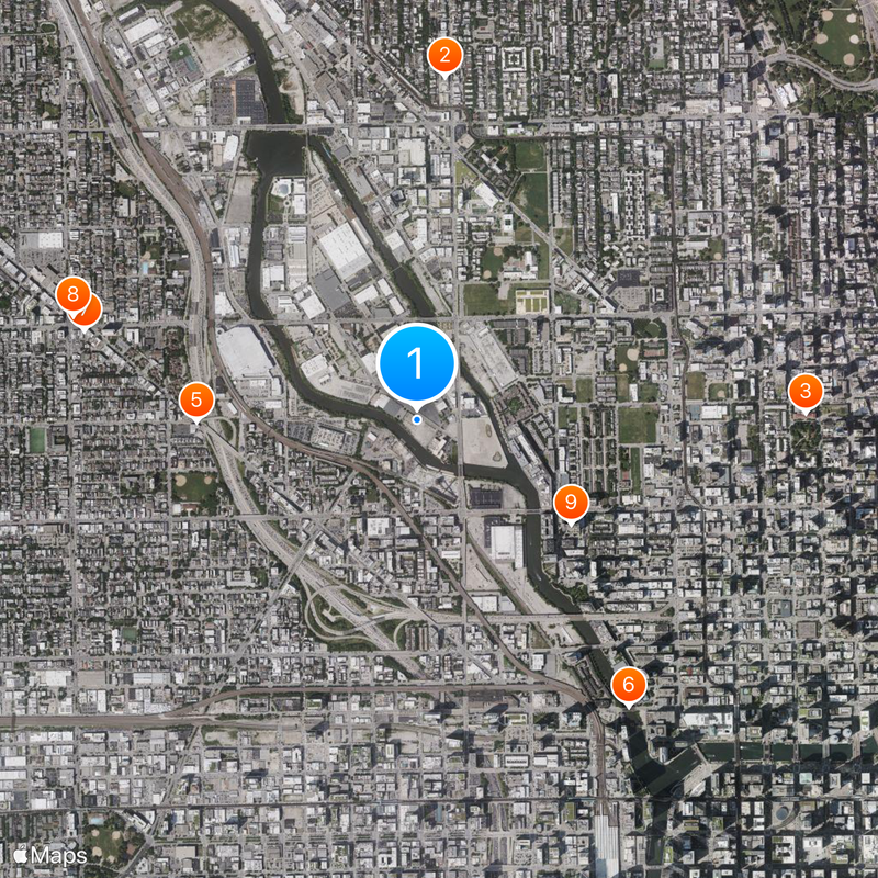
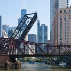
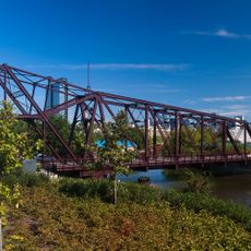
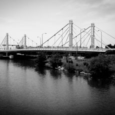
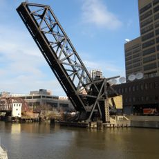
The O'Hare International Airport ranks as one of the busiest air hubs worldwide, connecting the region to hundreds of destinations daily. The metropolitan area also contains the largest system of inland waterways within an urban setting in North America, including the Chicago River and canals that link it to the Mississippi.
The community of curious travelers
AroundUs brings together thousands of curated places, local tips, and hidden gems, enriched daily by 60,000 contributors worldwide.