
Buckland, town in Franklin County, Massachusetts, United States
Location: Franklin County
Inception: 1779
Elevation above the sea: 210 m
Shares border with: Hawley
Website: http://town.buckland.ma.us
GPS coordinates: 42.59222,-72.79222
Latest update: March 8, 2025 01:39
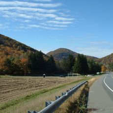
Mohawk Trail
14.3 km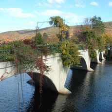
Bridge of Flowers
4.4 km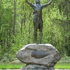
Hail To The Sunrise Statue
11.2 km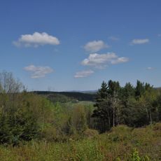
Bear Swamp
5.6 km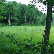
D.A.R. State Forest
15.1 km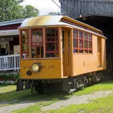
Shelburne Falls Trolley Museum
4.4 kmPocumtuck Mountain
6.8 km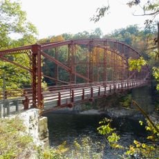
Bardwell's Ferry Bridge
10.2 km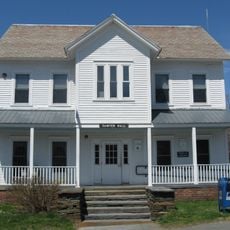
Heath Center Historic District
9.4 km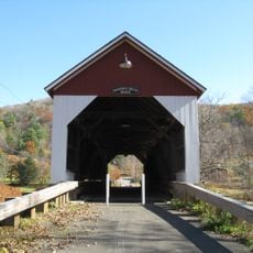
Arthur A. Smith Covered Bridge
10.5 km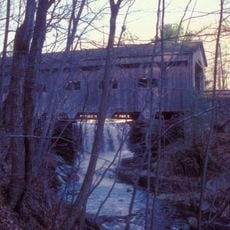
Bissell Bridge
7.8 km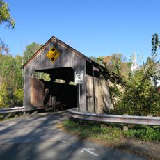
Burkeville Covered Bridge
11.5 km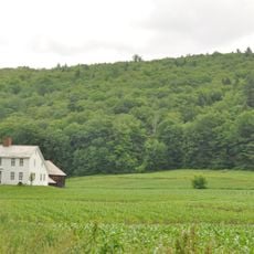
The Wilder Homestead
1.4 km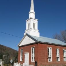
Colrain Center Historic District
11.9 km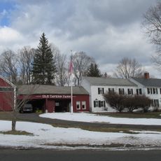
Old Tavern Farm
13.2 km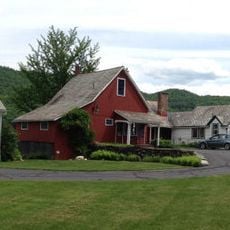
Robert Strong Woodward House and Studio
367 m
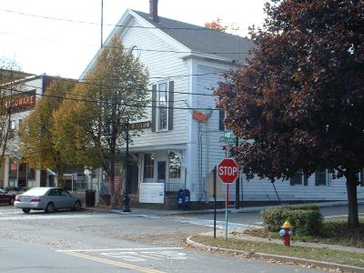
Odd Fellows' Hall
4.5 km
East Hawley Center Historic District
7.8 km
Ashfield Plain Historic District
7.3 km
Charlemont Village Historic District
7.8 km
Plainfield Center Historic District
13.1 km
Maj. Joseph Griswold House
251 m
Conway Center Historic District
12.1 km
Shelburne Free Public Library
8.5 km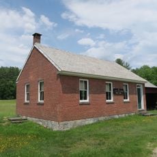
East Charlemont District School
3.5 km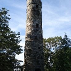
Massaemett Mountain
6.9 km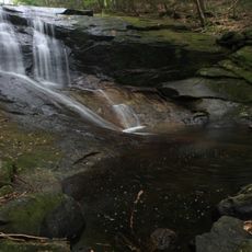
Chapel Brook Falls
12.5 km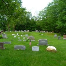
East Shelburne Cemetery
10.3 kmVisited this place? Tap the stars to rate it and share your experience / photos with the community! Try now! You can cancel it anytime.
Discover hidden gems everywhere you go!
From secret cafés to breathtaking viewpoints, skip the crowded tourist spots and find places that match your style. Our app makes it easy with voice search, smart filtering, route optimization, and insider tips from travelers worldwide. Download now for the complete mobile experience.

A unique approach to discovering new places❞
— Le Figaro
All the places worth exploring❞
— France Info
A tailor-made excursion in just a few clicks❞
— 20 Minutes