·

Enable Location

We need your location to show you interesting places around you

Discover nearby places

Find interesting locations and hidden gems around you

Precise directions

Get accurate directions and distances to places

Your location is never shared with other users. It's only used when you tap the location button.

Tell City

Log in to your account

Start exploring — it's free

Trusted by 62,689 travelers worldwide

Continue with Google
Continue with Apple
or

We will send you a code to connect

By continuing, you accept our Terms and Conditions and our Privacy Policy

Check your inbox

We've sent a pincode in your inbox. Please enter the code below.

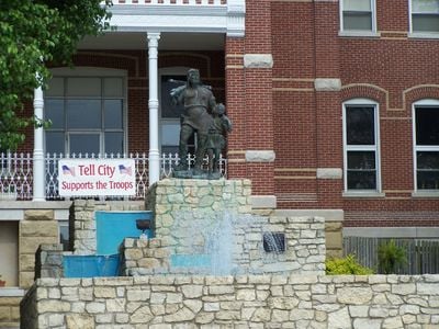
Tell City, Administrative division in Perry County, Indiana, US

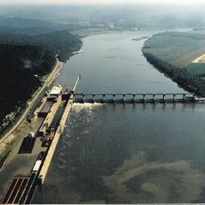
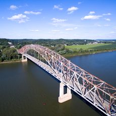
Tell City is a city along the Ohio River in Perry County, Indiana, serving as a local administrative center that provides services to its community daily. The city has a planned infrastructure with organized departments managing various public functions.

German immigrants founded the city in 1858 and named it after William Tell, a Swiss freedom hero. The settlement was laid out as a planned community with systematic street patterns.

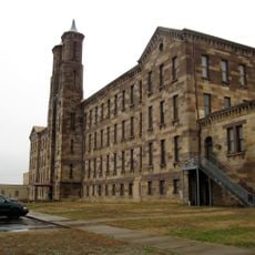
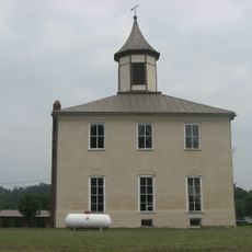
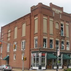
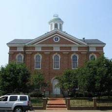
The area reflects German immigrant influence in its architecture and street layout that was planned by early settlers. Walking through the historic neighborhoods, you can see clearly the German-speaking roots in the street names and urban design.

Visitors will find a small city with manageable distances between main areas that can be explored on foot. It helps to know that the city is built along the river, which aids in getting oriented.

The annual Schweizer Fest draws thousands of visitors celebrating German and Alpine cultural traditions. The festival shows how the connection to Swiss and German heritage remains vibrant in the community today.

The community of curious travelers

AroundUs brings together thousands of curated places, local tips, and hidden gems, enriched daily by 60,000 contributors worldwide.

Start exploring
Location
Inception
July 1857
Elevation above the sea
128 m
GPS coordinates
37.95310,-86.76140
Latest update
December 7, 2025 10:06
Around this place
Holiday World & Splashin' Safari
United States of America

Holiday World & Splashin' Safari

22.9 km
The Voyage
United States of America

The Voyage

22.9 km
Lincoln State Park
United States of America

Lincoln State Park

26.6 km
The Raven
United States of America

The Raven

22.9 km
The Legend
United States of America

The Legend

22.9 km
Wildebeest
United States of America

Wildebeest

23.3 km
William H. Natcher Bridge
United States of America

William H. Natcher Bridge

24.6 km
United States of America

The Howler

22.6 km
Cannelton Locks and Dam
United States of America

Cannelton Locks and Dam

7.7 km
Rockhouse Cliffs Rockshelters
United States of America

Rockhouse Cliffs Rockshelters

20 km
Cannelton Cotton Mill
United States of America

Cannelton Cotton Mill

4.9 km
Bob Cummings – Lincoln Trail Bridge
United States of America

Bob Cummings – Lincoln Trail Bridge

5.7 km
Christ of the Ohio
United States of America

Christ of the Ohio

5.3 km
Huffman Mill Covered Bridge
United States of America

Huffman Mill Covered Bridge

16.8 km
Mathias Sharp House
United States of America

Mathias Sharp House

26.2 km
Santa Claus Museum and Village
United States of America

Santa Claus Museum and Village

22.2 km
Spencer County Courthouse
United States of America

Spencer County Courthouse

26.2 km
St. Boniface Catholic Church
United States of America

St. Boniface Catholic Church

18.8 km
Joseph Holt House and Chapel
United States of America

Joseph Holt House and Chapel

16.8 km
Joe Pell Building
United States of America

Joe Pell Building

12.6 km
Cannelton Historic District
United States of America

Cannelton Historic District

4.8 km
Old Perry County Courthouse
United States of America

Old Perry County Courthouse

21.1 km
Tell City Oddfellows' Hall
United States of America

Tell City Oddfellows' Hall

796 m
United States of America

Lewisport Masonic Lodge

12.5 km
Deutsch Evangelische St. Paul's Kirche
United States of America

Deutsch Evangelische St. Paul's Kirche

21.8 km
Hancock County Courthouse
United States of America

Hancock County Courthouse

5.9 km
Robert C. Beauchamp House
United States of America

Robert C. Beauchamp House

5.1 km
Immaculate Conception Church
United States of America

Immaculate Conception Church

5.3 km
Show the full map
« Tell City - Administrative division in Perry County, Indiana, US » is provided by Around Us (aroundus.com). Images and texts are derived from Wikimedia project under a Creative Commons license. You are allowed to copy, distribute, and modify copies of this page, under the conditions set by the license, as long as this note is clearly visible.

Discover hidden gems everywhere you go!

From secret cafés to breathtaking viewpoints, skip the crowded tourist spots and find places that match your style. Our app makes it easy with voice search, smart filtering, route optimization, and insider tips from travelers worldwide. Download now for the complete mobile experience.

Around Us App Screenshot

A unique approach to discovering new places

Le Figaro

All the places worth exploring

France Info

A tailor-made excursion in just a few clicks

20 Minutes

Around Us
Travel Guide & Maps
Download

Send to your phone

QR Code
1

Open the camera app on your mobile.

2

Point at the QR code with your camera. A notification will appear.

3

Tap the notification to open the link.