Sóc Trăng, Province in Mekong Delta, Vietnam
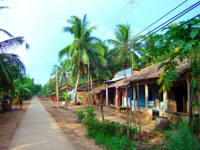
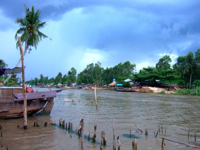
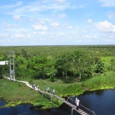
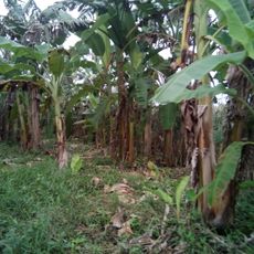
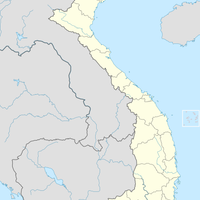
Sóc Trăng is a province in southern Vietnam covering 3,298 square kilometers (1,273 square miles) between the Hậu River and the Mỹ Thanh River. Farmland dominates the region, which stays flat throughout and is crisscrossed by a network of canals that link villages to the main river branches.
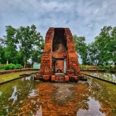
In the 19th century under Emperor Minh Mạng the region briefly carried the name Nguyệt Giang before returning to its earlier designation. Khmer settlers lived here before Vietnamese expansion moved south, shaping the development of the province through their language and temple architecture.
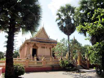
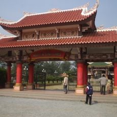
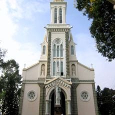
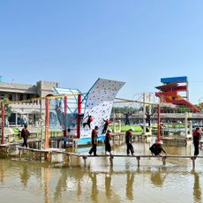
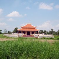
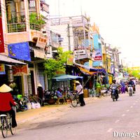
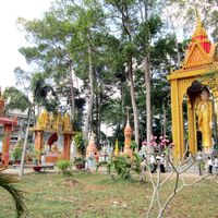
More than 200 Buddhist temples shape the local landscape, including Mahatup and Buu Son, where Vietnamese, Khmer and Chinese communities come together for prayer and festivals throughout the year. Riverside markets bring daily life into focus, with vendors selling produce grown on nearby farms and cooked dishes that mix three culinary traditions in a single plate.
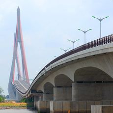
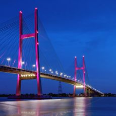
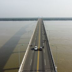
Buses link the provincial capital to Ho Chi Minh City 231 kilometers (144 miles) to the north, following Highway 1 through the delta. Cyclists and motorbike riders often use the smaller roads alongside canals to move between smaller communities, where traffic stays lighter and the setting quieter.
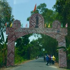
The province takes its name from the Khmer words Srok Khleang, meaning Land of Depositories, a reference to its earlier role as a silver storage site. During certain festival days each year some temples open their outer courtyards for traditional dance performances, with local groups wearing costumes and masks that reach back several generations.
The community of curious travelers
AroundUs brings together thousands of curated places, local tips, and hidden gems, enriched daily by 60,000 contributors worldwide.