Hòa Bình, Mountainous province in northern Vietnam.
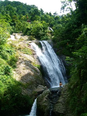
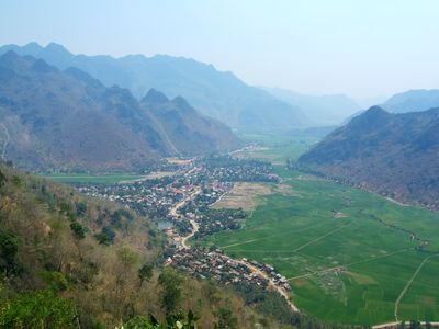
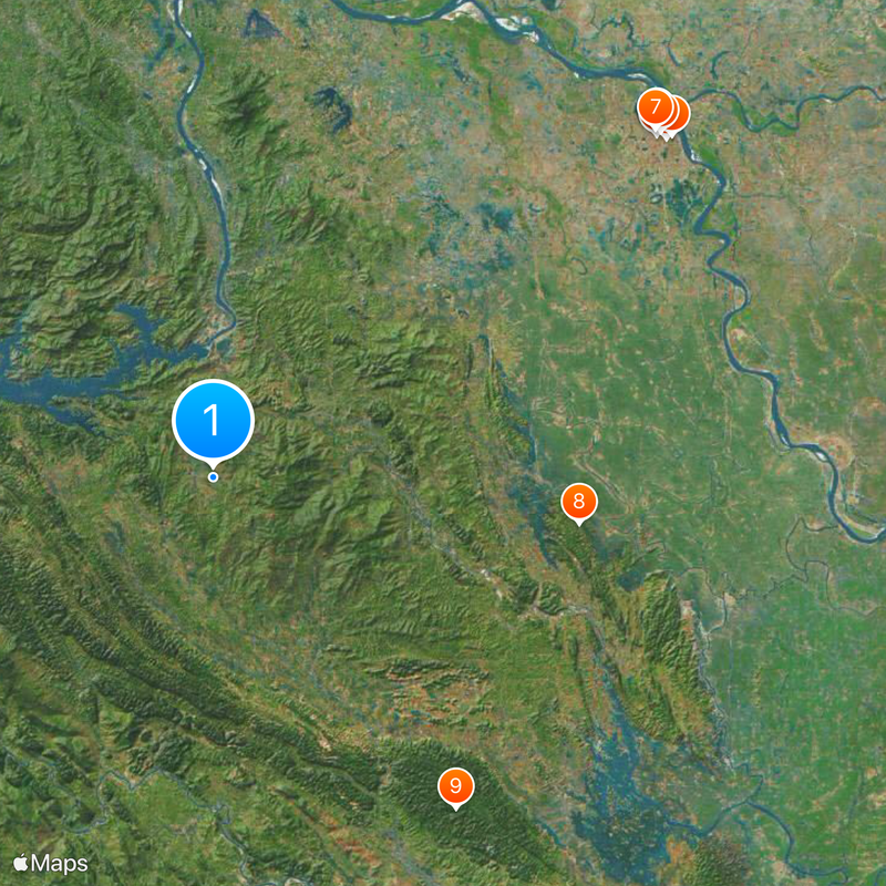
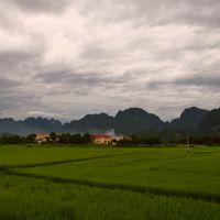
Hòa Bình is a mountainous province in northern Vietnam that covers valleys, forested slopes and the Da River. The terrain rises from lowlands in the east to peaks above 1500 meters (4900 feet) in the west, forming a natural boundary between the Red River Delta and the northwest highlands.
The French colonial administration established an administrative unit here in 1886 under the name Muong, renaming it Hòa Bình in 1891. After independence the area was reorganized repeatedly, with neighboring districts added or removed according to the country's political and economic priorities.
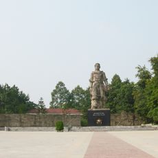
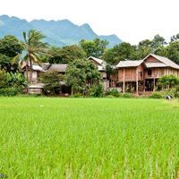
The name comes from Vietnamese and means »peace«, a word visitors see on public buildings and memorial plaques across the towns. Many Muong villages keep stilt houses built from timber and bamboo, where the ground floor holds tools and provisions while families live on the upper level.
Intercity buses run regularly between the provincial capital and Hanoi, with the journey taking two to three hours depending on road conditions. Mountain roads in the west require cautious driving, and a stop in Mai Châu provides an opportunity to explore local markets and handicrafts.
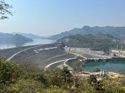
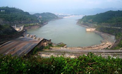
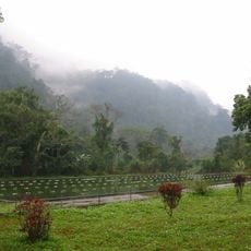
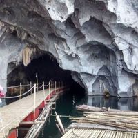
The hydroelectric dam on the Da River was the largest facility of its kind in Southeast Asia when completed in 1979 and still generates power for the national grid. Archaeological finds from limestone caves in the region document human settlement dating back to the Stone Age.
The community of curious travelers
AroundUs brings together thousands of curated places, local tips, and hidden gems, enriched daily by 60,000 contributors worldwide.