Enable Location

We need your location to show you interesting places around you

Discover nearby places

Find interesting locations and hidden gems around you

Precise directions

Get accurate directions and distances to places

Your location is never shared with other users. It's only used when you tap the location button.

An Phú

Log in to your account

Start exploring — it's free

Trusted by 62,375 travelers worldwide

Continue with Google
Continue with Apple
or

We will send you a code to connect

By continuing, you accept our Terms and Conditions and our Privacy Policy

Check your inbox

We've sent a pincode in your inbox. Please enter the code below.

An Phú

An Phú, Rural district in An Giang Province, Vietnam.

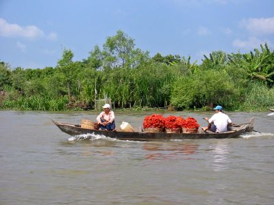
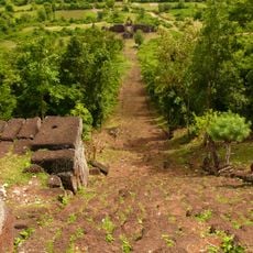
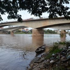
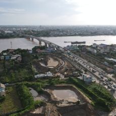
An Phú is a rural district in the Mekong Delta covering about 226 square kilometers, characterized by extensive rice fields and waterways. The terrain lies only about 6 meters above sea level and is shaped entirely by the delta's geography.

The district gained official status on August 6, 1957, following its separation from Long Châu Tiền and merger with parts of Tân Châu. This administrative reshaping created the district as it exists today.

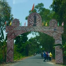
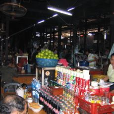
The majority of residents are Kinh Vietnamese, while around 12,000 Cham people live across five villages and celebrate their own customs and festivals. These communities maintain distinct traditions that shape daily life in the district.

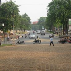
During monsoon season, residents adapted to flooding by building houses on stilts and using boats as primary transportation. Visitors should be aware of seasonal water conditions and plan accordingly for the best experience.

The area organizes an annual Flood Season Festival when rice fields become fishing grounds. This seasonal shift in how people use the land shows how the community adapts to its environment.

The community of curious travelers

AroundUs brings together thousands of curated places, local tips, and hidden gems, enriched daily by 60,000 contributors worldwide.

Start exploring
Location
Inception
August 6, 1957
Elevation above the sea
6 m
GPS coordinates
10.81456,105.09202
Latest update
December 8, 2025 13:43
« An Phú - Rural district in An Giang Province, Vietnam » is provided by Around Us (aroundus.com). Images and texts are derived from Wikimedia project under a Creative Commons license. You are allowed to copy, distribute, and modify copies of this page, under the conditions set by the license, as long as this note is clearly visible.

Discover hidden gems everywhere you go!

From secret cafés to breathtaking viewpoints, skip the crowded tourist spots and find places that match your style. Our app makes it easy with voice search, smart filtering, route optimization, and insider tips from travelers worldwide. Download now for the complete mobile experience.

Around Us App Screenshot

A unique approach to discovering new places

Le Figaro

All the places worth exploring

France Info

A tailor-made excursion in just a few clicks

20 Minutes

Around Us
Travel Guide & Maps
Download

Send to your phone

QR Code
1

Open the camera app on your mobile.

2

Point at the QR code with your camera. A notification will appear.

3

Tap the notification to open the link.