
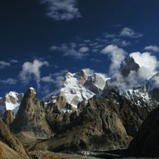
Khurdopīn Group, summit in Pakistan
Location: Gilgit-Baltistan
Elevation above the sea: 6,265 m
GPS coordinates: 36.11494,75.51083
Latest update: May 18, 2025 13:34
Baintha Brakk
28.6 km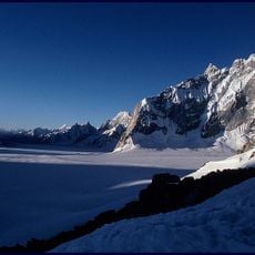
Biafo Glacier
17.2 km
Lupghar Sar
51.8 km
Spantik
49.6 km
Distaghil Sar
37.2 km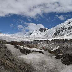
Hispar Glacier
22.2 km
Khunyang Chhish
29.1 km
Kanjut Sar
13.2 km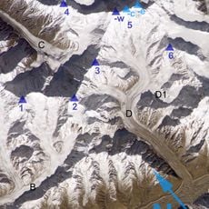
Trivor
43.5 km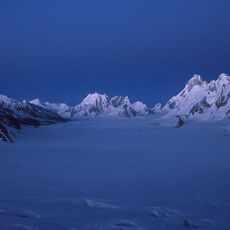
Snow Lake
14.4 km
The Crown
62.7 km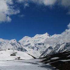
Malubiting
58.5 km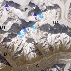
Pumari Chhish
25.8 km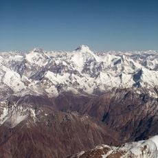
Yukshin Gardan Sar
20.1 km
Momhil Sar
48.5 km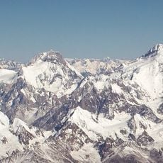
Yutmaru Sar
18.3 km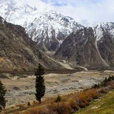
Kutia Lungma Glacier
59 km
Malangutti Sar
42.9 km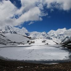
Rush Peak
55.1 km
Miar Peak
62 km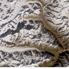
Panmah Glacier
50.1 km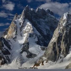
Sosbun Brakk
20.3 km
Bularung Sar
39.7 km
Phuparash Peak
59.5 km
Kanjut Sar II
7 km
Uzun Brakk
24.3 km
Momhil Glacier
47.3 km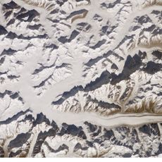
Vīrjerāb Glacier
21.5 kmReviews
Visited this place? Tap the stars to rate it and share your experience / photos with the community! Try now! You can cancel it anytime.
Discover hidden gems everywhere you go!
From secret cafés to breathtaking viewpoints, skip the crowded tourist spots and find places that match your style. Our app makes it easy with voice search, smart filtering, route optimization, and insider tips from travelers worldwide. Download now for the complete mobile experience.

A unique approach to discovering new places❞
— Le Figaro
All the places worth exploring❞
— France Info
A tailor-made excursion in just a few clicks❞
— 20 Minutes