Spiš-Gemer Karst, Karst formation in Slovenské rudohorie Mountains, Slovakia
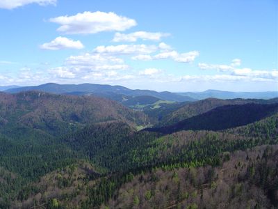
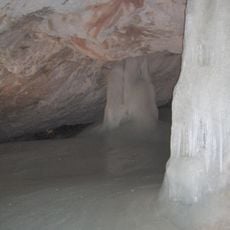
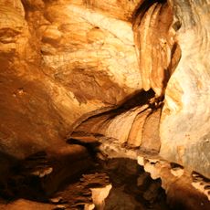
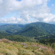
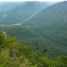
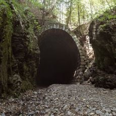
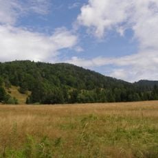
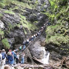
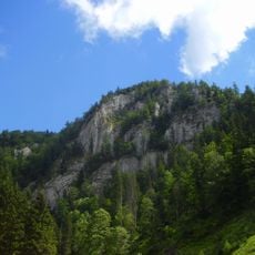
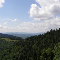
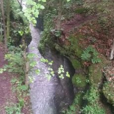
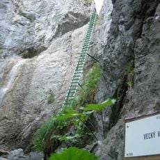
Spiš-Gemer Karst is a landscape of limestone plains and elevated plateaus that sit between 2600 and 3300 feet (800 to 1000 meters) above sea level, carved by extensive cave networks beneath the surface. The broken terrain shows natural stone bridges and underground waterways that have shaped the visible rock formations over time.
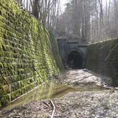
The geological formation of this karst began millions of years ago when water slowly dissolved and eroded limestone deposits deep underground. This extended process created the cave networks and stone features that now characterize the landscape.
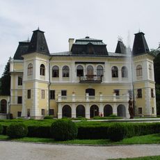
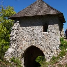
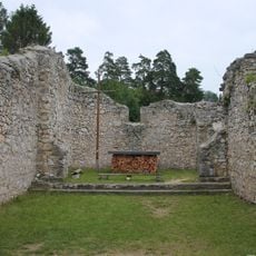
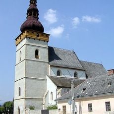
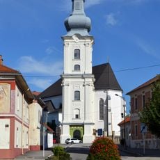
The settlements around this karst region tell stories of families who worked the earth and mined its resources for generations, shaping the local way of life. Walking through these villages today, you can sense how deeply this heritage remains part of the community's identity.
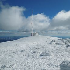
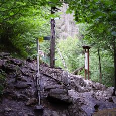
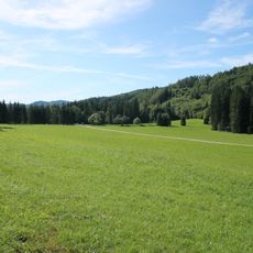
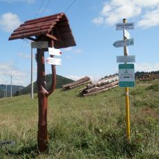
This area is best explored on marked hiking trails starting from nearby towns, with routes ranging from easy walks to more demanding climbs. Local information centers in the surrounding villages can help you plan your visit and advise on current trail conditions.
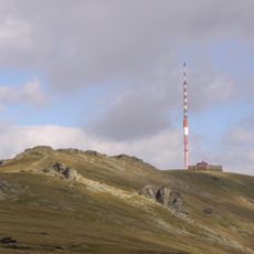
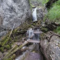
Two national parks occupy different parts of this region, each with distinct features that surprised many visitors. One showcases deep canyons and waterfalls, while the other reveals expansive cave systems and open karst plateaus that create striking contrasts.
The community of curious travelers
AroundUs brings together thousands of curated places, local tips, and hidden gems, enriched daily by 60,000 contributors worldwide.