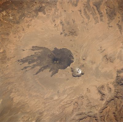
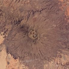
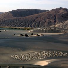
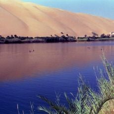
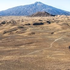
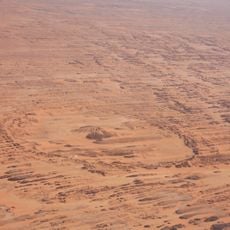
Pic Toussidé, Volcanic summit in Tibesti Region, Chad
Pic Toussidé is a volcanic summit in the Tibesti Mountains that rises 3,315 meters and displays a symmetrical cone shape with dark lava formations scattered across its slopes. The peak sits within a region marked by multiple crater structures and layered volcanic deposits from ancient eruptions.
The mountain formed millions of years ago through sustained volcanic activity that created its current conical shape and multiple crater systems. These ancient eruptions left behind layered deposits that define the geological character of the northern Sahara region.
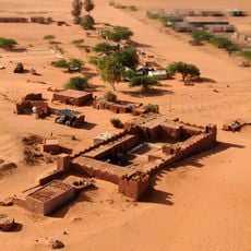
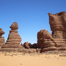
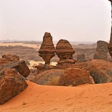
The mountain holds significance for local Tubu peoples who have inhabited the Tibesti region for centuries and maintain deep connections to this landscape. The peaks serve as landmarks in traditional navigation and storytelling across the desert.
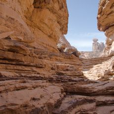
Reaching this peak requires careful planning due to its remote desert location and extreme climate conditions that limit visits to cooler months. Visitors should arrange guides in advance and come prepared for rugged terrain and minimal shelter.
Active steam vents near the summit release water vapor at temperatures between 40 and 60 degrees Celsius, revealing ongoing geothermal activity beneath the peak. These fumaroles serve as a visible reminder that volcanic forces continue working inside the mountain.
The community of curious travelers
AroundUs brings together thousands of curated places, local tips, and hidden gems, enriched daily by 60,000 contributors worldwide.