Enable Location

We need your location to show you interesting places around you

Discover nearby places

Find interesting locations and hidden gems around you

Precise directions

Get accurate directions and distances to places

Your location is never shared with other users. It's only used when you tap the location button.

Wast Water

Log in to your account

Start exploring — it's free

Trusted by 61,463 travelers worldwide

Continue with Google
Continue with Apple
or

We will send you a code to connect

By continuing, you accept our Terms and Conditions and our Privacy Policy

Check your inbox

We've sent a pincode in your inbox. Please enter the code below.

Wast Water

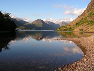
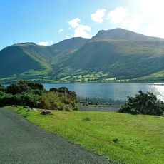
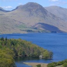
Wast Water, Lake in Wasdale Valley, Lake District National Park, England.

Description

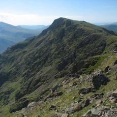
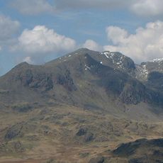
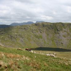
Wast Water is a lake in Wasdale Valley within Lake District National Park, England. It is England's deepest lake and sits surrounded by dramatic mountain slopes that rise steeply from its shores.

History

During World War II, the lake supplied water to the Royal Ordnance Factory at nearby Drigg. This industrial role supported wartime production in the region.

Culture

The name Wast Water combines elements from Old Norse 'vatn' and Old English 'wæter', reflecting the linguistic heritage of the region.

Practical

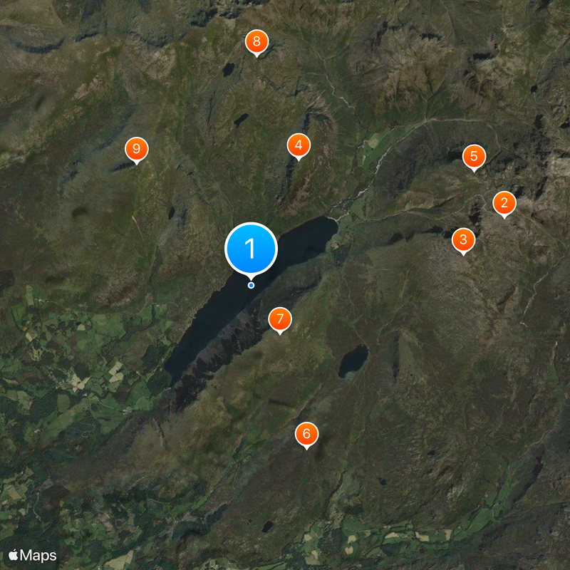
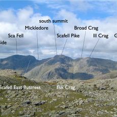
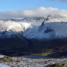
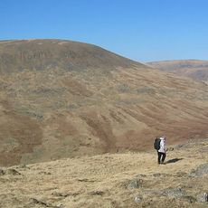
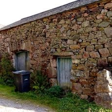
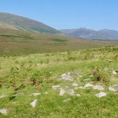
Walking trails circle the lake and connect to routes leading toward surrounding mountain peaks. Most access points and starting places for walks are located in the nearby village of Wasdale.

Did you know?

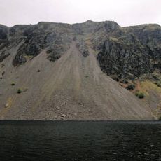
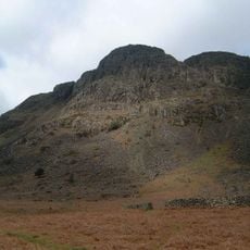
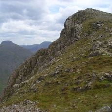
The southeastern shore is defined by the Wastwater Screes, steep slopes of loose rock that tumble from the mountaintop down to the water level. This unusual formation creates a distinctive landscape rarely found at other lakes in the region.

Location
Elevation above the sea
61 m
Height
74 m
GPS coordinates
54.44167,-3.29167
Latest update
December 20, 2025 01:38

AroundUs brings together thousands of curated places, local tips, and hidden gems, enriched daily by 60,000 contributors worldwide. Discover all places nearby (Wasdale).

Lake District in England : main sites, lakes and villages to see

The Lake District covers the hills and valleys of Cumbria where lakes sit among mountains. Windermere, the largest, has boats crossing its waters for many years. Derwentwater, near Keswick, attracts walkers who circle its shores on foot. Ullswater offers a more quiet setting, while Buttermere and...

Around this place
Show the full map
« Wast Water - Lake in Wasdale Valley, Lake District National Park, England » is provided by Around Us (aroundus.com). Images and texts are derived from Wikimedia project under a Creative Commons license. You are allowed to copy, distribute, and modify copies of this page, under the conditions set by the license, as long as this note is clearly visible.

Discover hidden gems everywhere you go!

From secret cafés to breathtaking viewpoints, skip the crowded tourist spots and find places that match your style. Our app makes it easy with voice search, smart filtering, route optimization, and insider tips from travelers worldwide. Download now for the complete mobile experience.

Around Us App Screenshot

A unique approach to discovering new places

Le Figaro

All the places worth exploring

France Info

A tailor-made excursion in just a few clicks

20 Minutes

Around Us
Travel Guide & Maps
Download

Send to your phone

QR Code
1

Open the camera app on your mobile.

2

Point at the QR code with your camera. A notification will appear.

3

Tap the notification to open the link.